OpenTopography Global DEM
Quick answer: OpenTopography is one of the easiest ways to download free DEM data because it brings multiple global elevation sources into one searchable portal.
Next step
Already have the export?
Open a GeoJSON result in the browser to inspect its map and attributes before sharing or converting it again.
Format
GeoTIFF
Geometry
Raster DEM
Coverage
Global
Resolution
30m to 90m depending on source
About this dataset
A practical gateway for downloading global DEM tiles and bounding-box extracts such as SRTM and Copernicus products.
Download free DEM data from OpenTopography with API-style or portal-based workflows for global elevation analysis and terrain mapping.
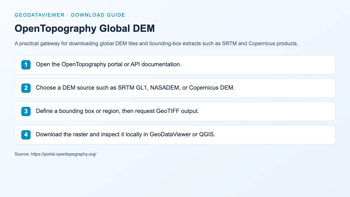
Download steps from this dataset’s GeoDataViewer guide. Follow the original provider for current files and access requirements.
How to download
- 1 Open the OpenTopography portal or API documentation.
- 2 Choose a DEM source such as SRTM GL1, NASADEM, or Copernicus DEM.
- 3 Define a bounding box or region, then request GeoTIFF output.
- 4 Download the raster and inspect it locally in GeoDataViewer or QGIS.
FAQ
Does OpenTopography give direct DEM downloads?
Yes. It provides portal-based download flows and API documentation for extracting global DEM rasters.
Which DEM source should I choose inside OpenTopography?
Use SRTM or Copernicus products for broad global coverage, then choose the one that matches your resolution and access requirements.