Copernicus DEM 30m
Quick answer: Copernicus DEM 30m is a strong global baseline when you want a free terrain raster with broad coverage and a well-known data lineage.
Next step
Already have the export?
Open a GeoJSON result in the browser to inspect its map and attributes before sharing or converting it again.
Format
GeoTIFF / COG
Geometry
Raster DEM
Coverage
Global
Resolution
30m
About this dataset
A widely used global 30m elevation source available through public cloud and official Copernicus access paths.
Download Copernicus DEM 30m data for global terrain analysis, raster styling, and GIS workflows that need a clear public source.
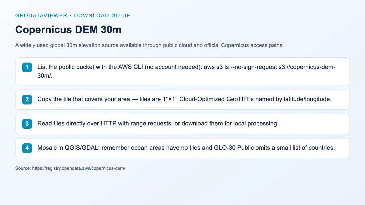
Download steps from this dataset’s GeoDataViewer guide. Follow the original provider for current files and access requirements.
How to download
- 1 List the public bucket with the AWS CLI (no account needed): aws s3 ls --no-sign-request s3://copernicus-dem-30m/.
- 2 Copy the tile that covers your area — tiles are 1°×1° Cloud-Optimized GeoTIFFs named by latitude/longitude.
- 3 Read tiles directly over HTTP with range requests, or download them for local processing.
- 4 Mosaic in QGIS/GDAL; remember ocean areas have no tiles and GLO-30 Public omits a small list of countries.
FAQ
Is Copernicus DEM 30m free to download?
Yes. GLO-30 Public and GLO-90 sit in public AWS buckets with no sign-up required, and the data is covered by the Copernicus Licence — commercial use is allowed with attribution to ESA/Copernicus.
Why are some countries missing from GLO-30?
The Copernicus Programme has not released every tile publicly; a small list of countries is excluded from GLO-30 Public. Use GLO-90 or another DEM over those areas.
What format should I expect from Copernicus DEM?
The common delivery formats are GeoTIFF and cloud-optimized variants suitable for raster processing pipelines.