HydroSHEDS
Quick answer: HydroSHEDS is the standard free global hydrography family (river networks, catchments, lakes) — v1 at ~90 m, v2 at ~30 m from TanDEM-X — free for research with a commercial licence available.
Next step
Already have the export?
Open a GeoJSON result in the browser to inspect its map and attributes before sharing or converting it again.
Format
Shapefile / GeoTIFF
Geometry
Lines / polygons / rasters
Coverage
Global (v2 released for the Americas first; north of 60°N in v1 comes from the coarser HYDRO1k)
Resolution
v1: 3 arc-seconds (~90 m) · v2: 1 arc-second (~30 m)
About this dataset
Global hydrography — river networks, catchments, and lakes — free for research, with a commercial licence available from WWF.
HydroSHEDS provides seamless global hydrographic data: the v1 core grids derive from SRTM at 3 arc-seconds (~90 m), while the new v2 core products use TanDEM-X at 1 arc-second (~30 m), starting with the Americas. Secondary products turn that into ready-to-use vectors — HydroRIVERS carries roughly 8.5 million river reaches, HydroLAKES lake polygons, and HydroATLAS basin attributes. Rivers and lakes larger than the hosting threshold are not mirrored here; use the Natural Earth 110m water preview for a lightweight look, then download HydroSHEDS for analysis.
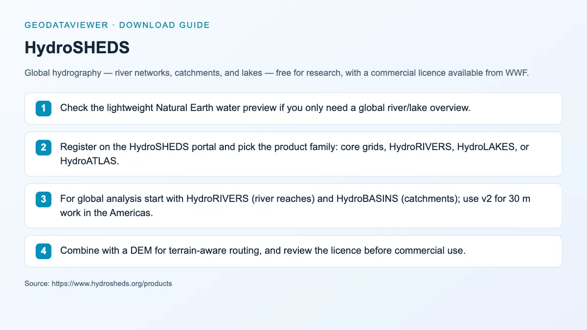
Download steps from this dataset’s GeoDataViewer guide. Follow the original provider for current files and access requirements.
How to download
- 1 Check the lightweight Natural Earth water preview if you only need a global river/lake overview.
- 2 Register on the HydroSHEDS portal and pick the product family: core grids, HydroRIVERS, HydroLAKES, or HydroATLAS.
- 3 For global analysis start with HydroRIVERS (river reaches) and HydroBASINS (catchments); use v2 for 30 m work in the Americas.
- 4 Combine with a DEM for terrain-aware routing, and review the licence before commercial use.
FAQ
Is HydroSHEDS good for river and basin mapping?
Yes. It is one of the most widely used free global hydrology sources, and HydroRIVERS/HydroBASINS give analysis-ready river reaches and catchments rather than raw rasters.
Can I use HydroSHEDS commercially?
Not without a licence. HydroSHEDS is free for research and educational use; commercial applications require permission from the HydroSHEDS consortium (WWF).
What changed in HydroSHEDS v2?
v2 rebuilds the core hydrography from the 12 m TanDEM-X elevation model, delivering 1 arc-second (~30 m) flow direction and accumulation grids. It is being released region by region, starting with the Americas.
Why is there no map preview on this page?
HydroRIVERS alone is several gigabytes — well above the site's 10 MB hosting rule — so the full dataset stays on the HydroSHEDS portal. The Natural Earth 110m water layer provides the in-browser preview.