Blank Maps — Free Printable Outline Maps
110 blank outline maps covering the world, six continents, every US state, and 52 countries. Each one is printable, has no labels, and comes with a downloadable GeoJSON file. Public domain, no signup.
110 maps · choose an outline to customize and download
No maps match these filters. Try another name or choose All maps.
World & continents
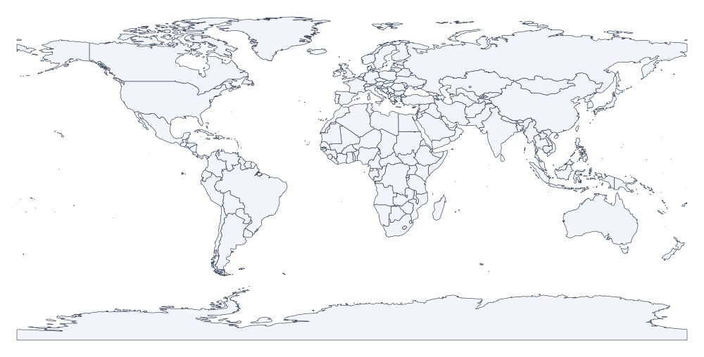
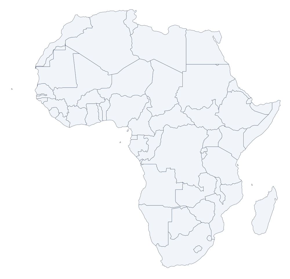
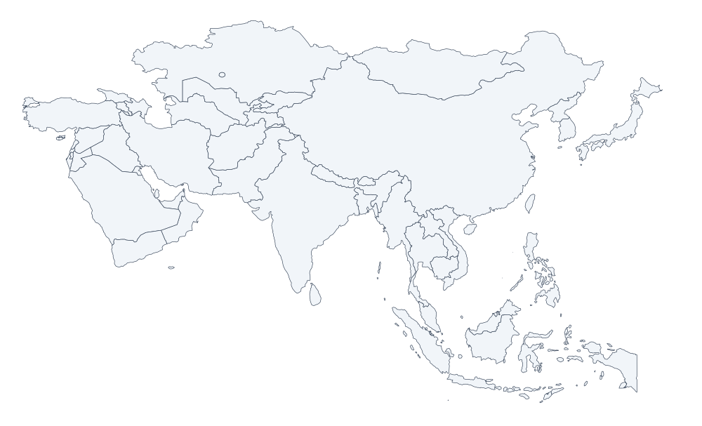
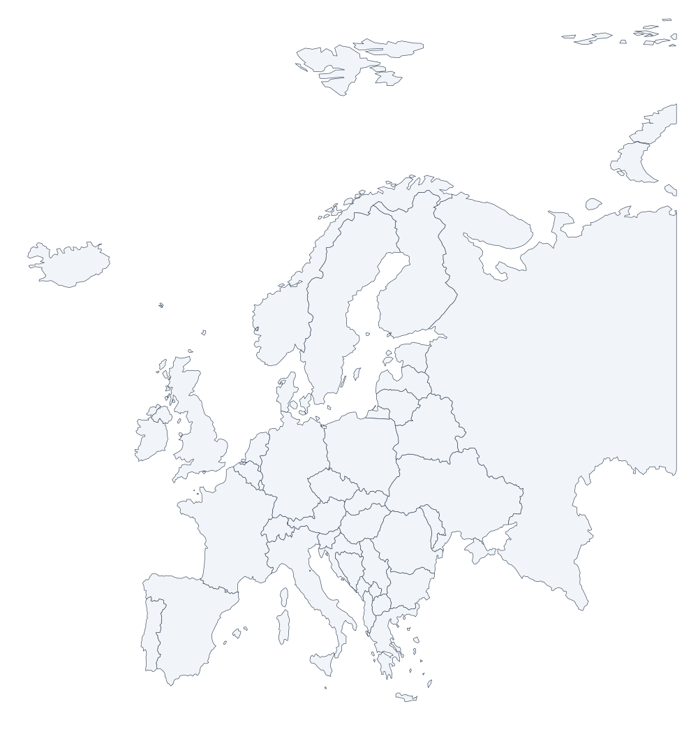
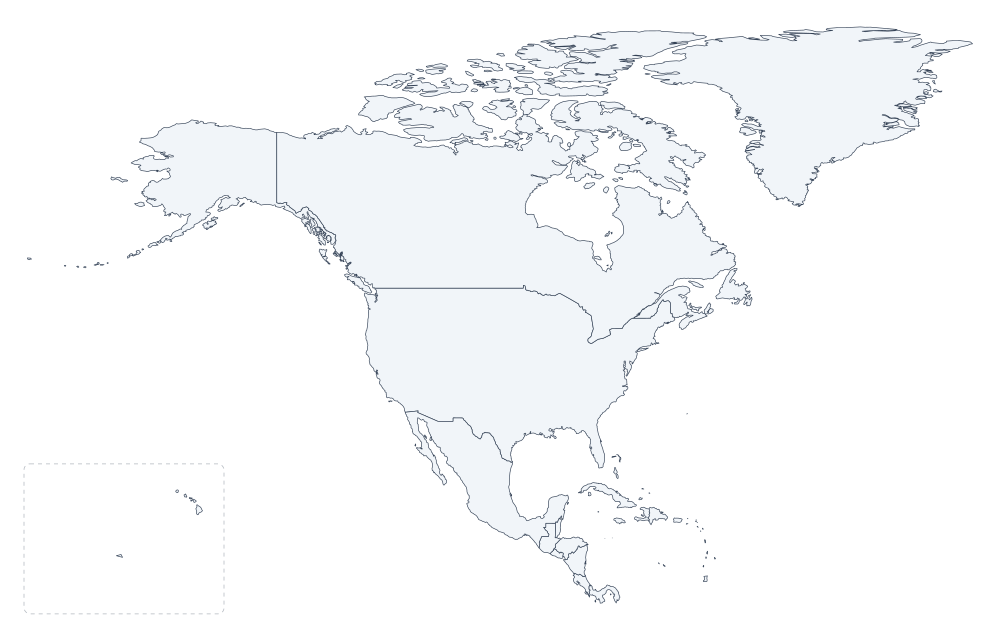
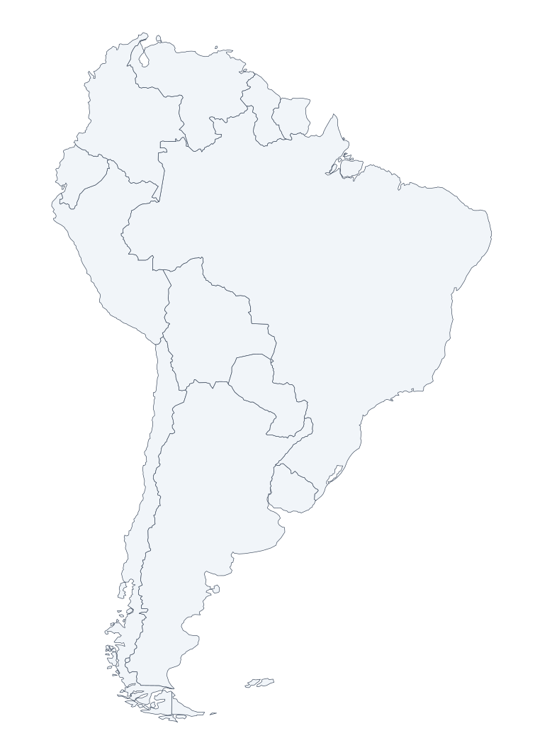
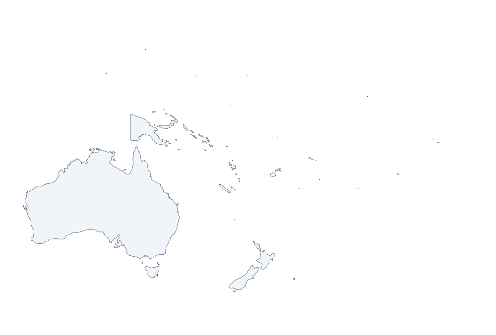
The whole world, or one continent at a time.
United States
All fifty states plus the District of Columbia, each as its own outline.
-
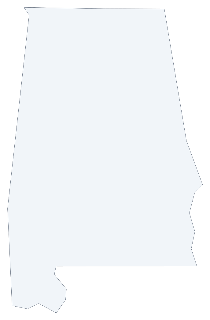 Alabama outline
 -
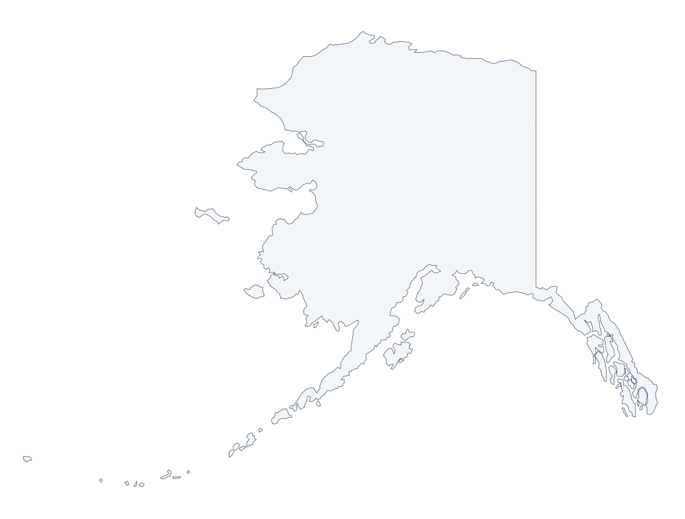 Alaska outline
 -
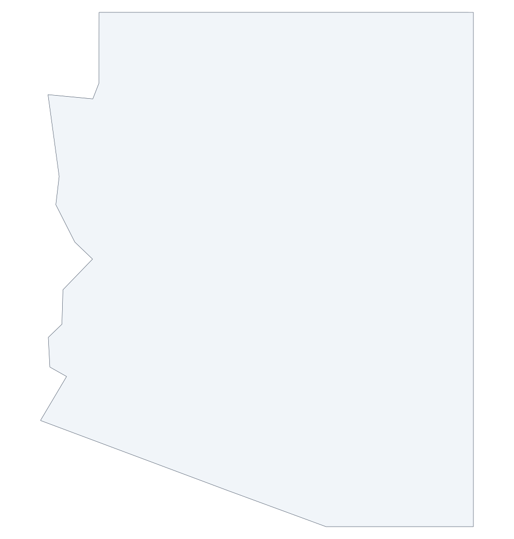 Arizona outline
 -
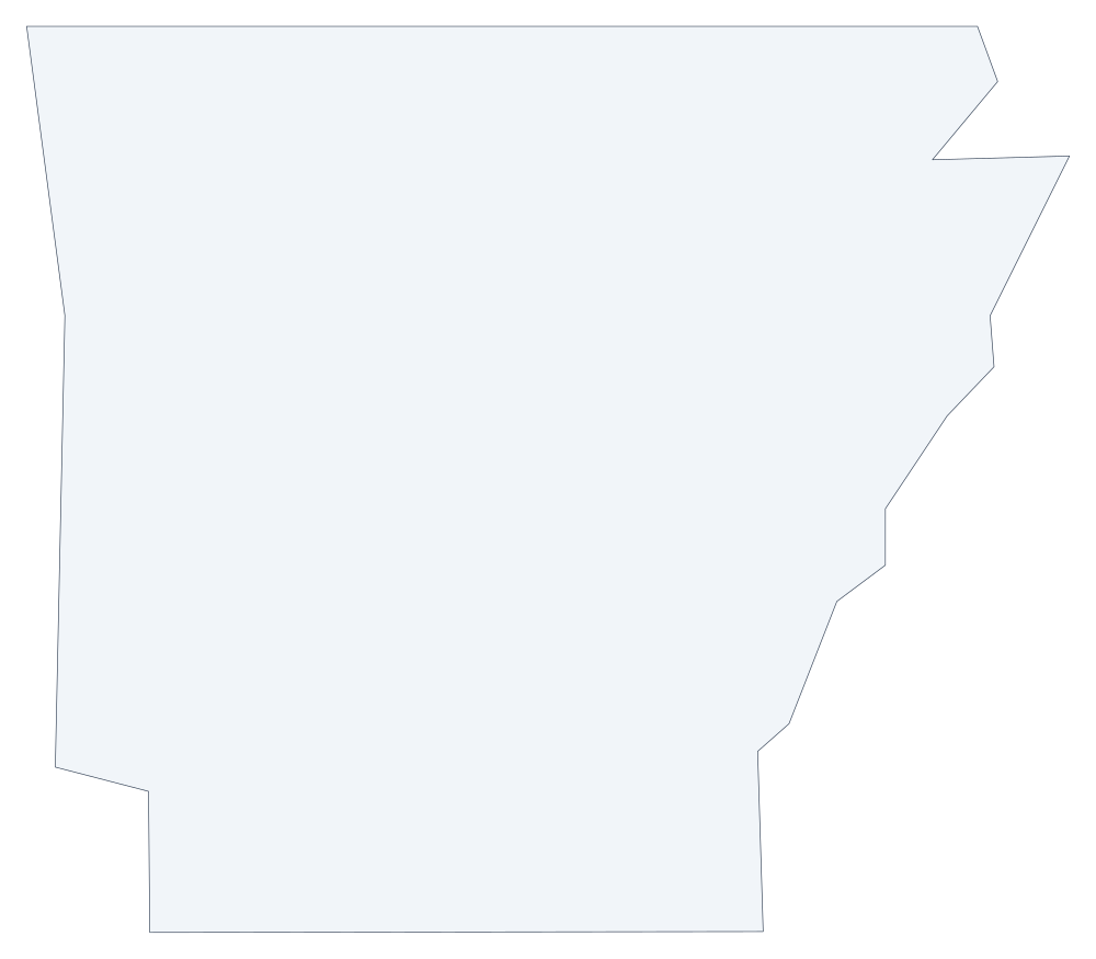 Arkansas outline
 -
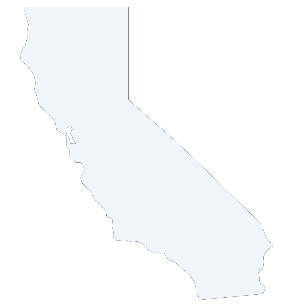 California outline
 -
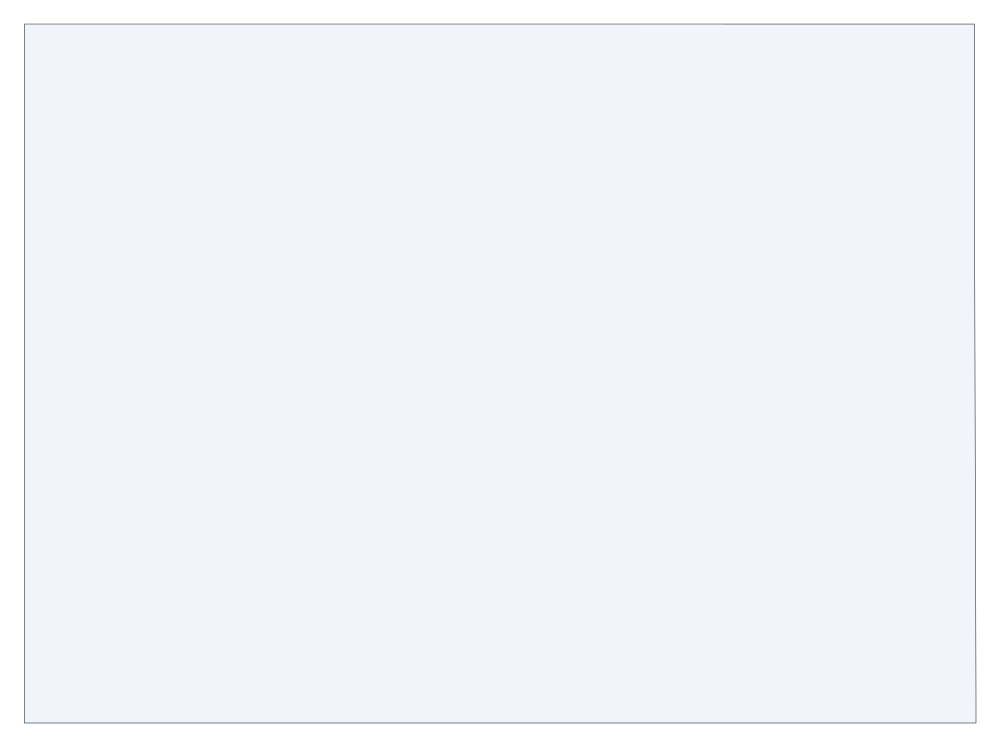 Colorado outline
 -
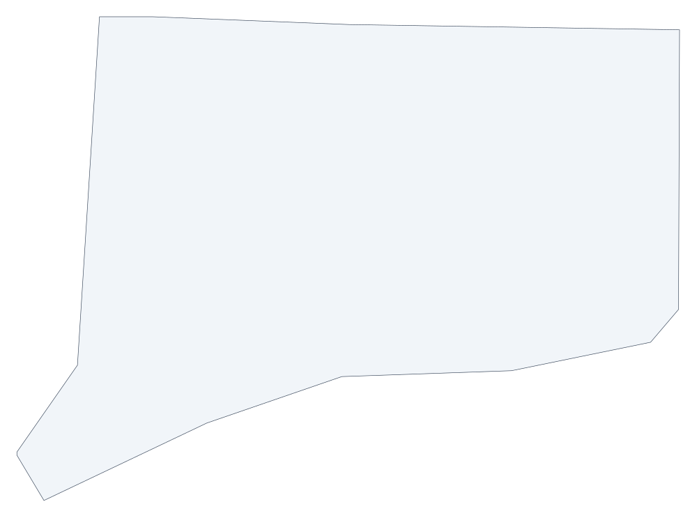 Connecticut outline
 -
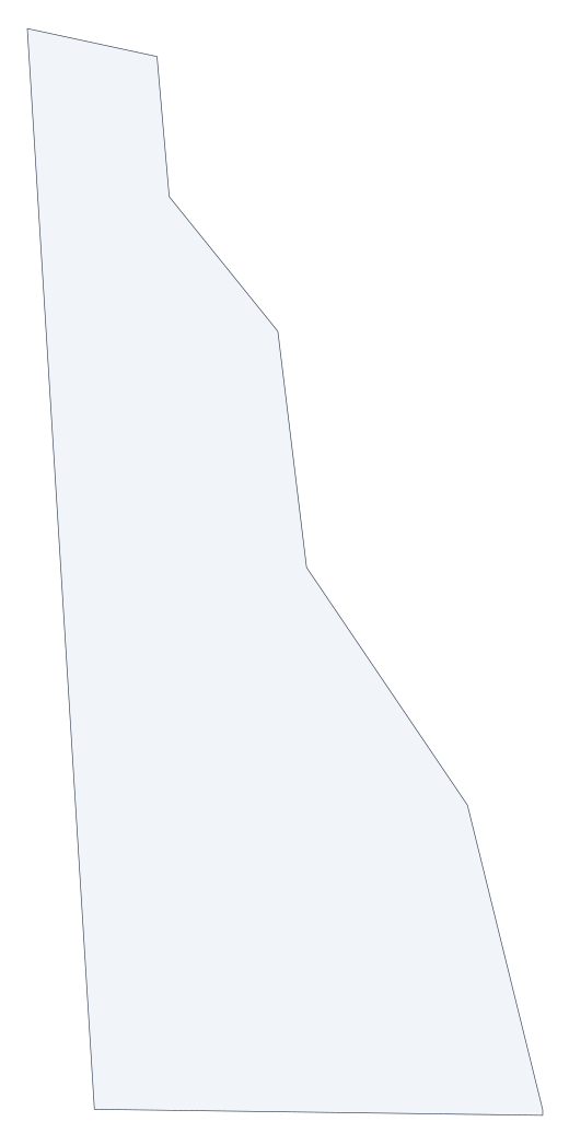 Delaware outline
 -
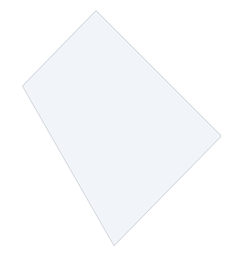 District of Columbia outline
 -
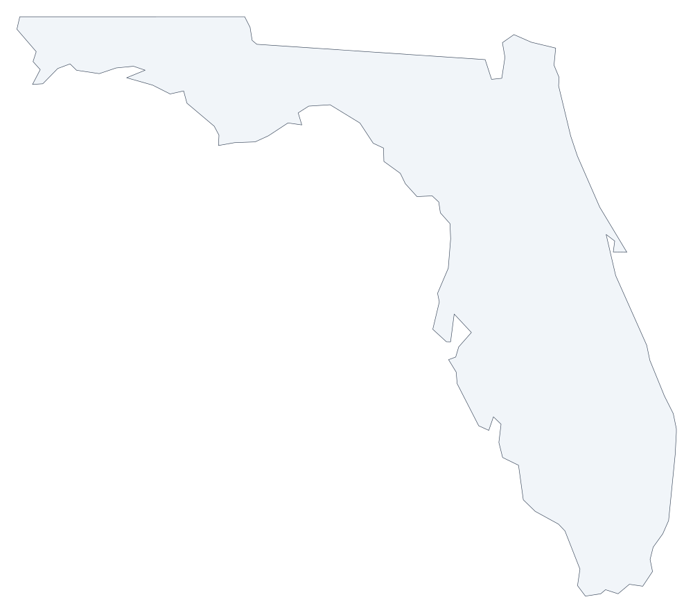 Florida outline
 -
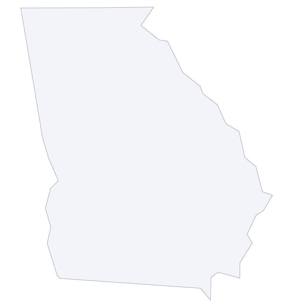 Georgia outline
 -
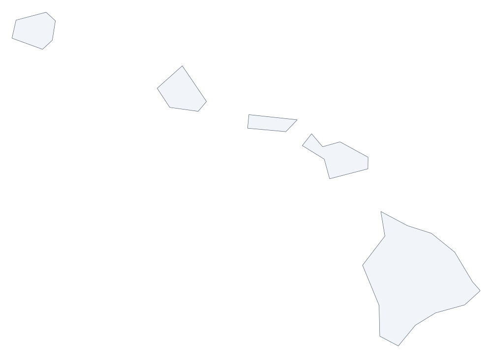 Hawaii outline
 -
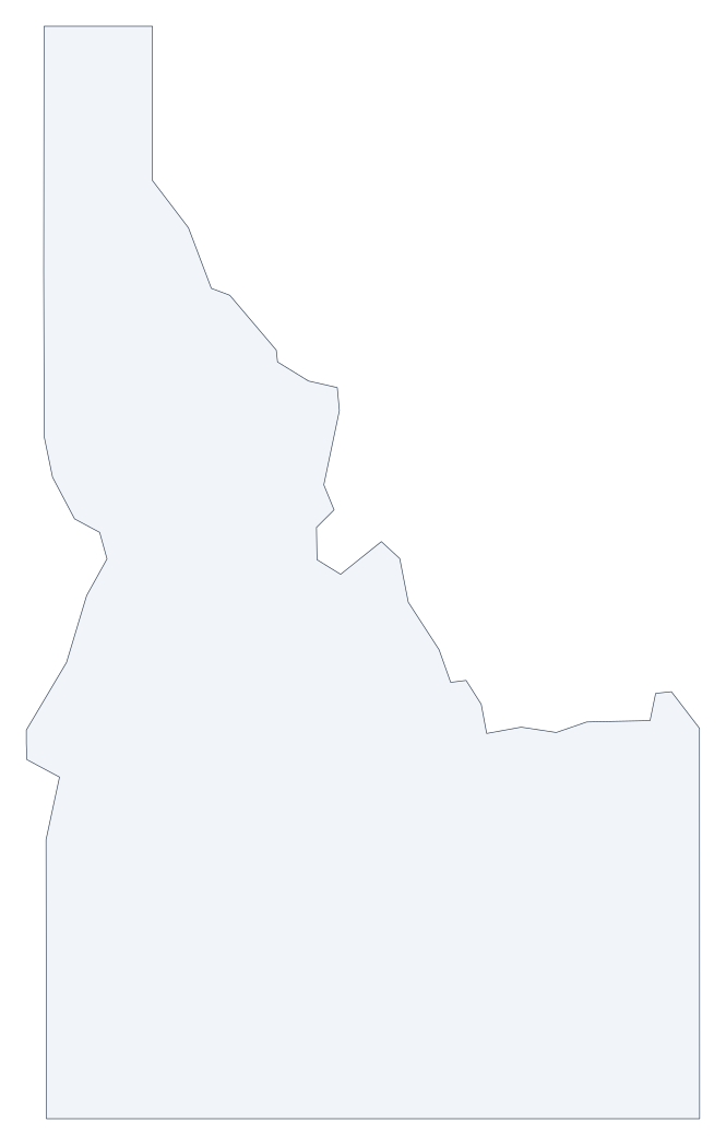 Idaho outline
 -
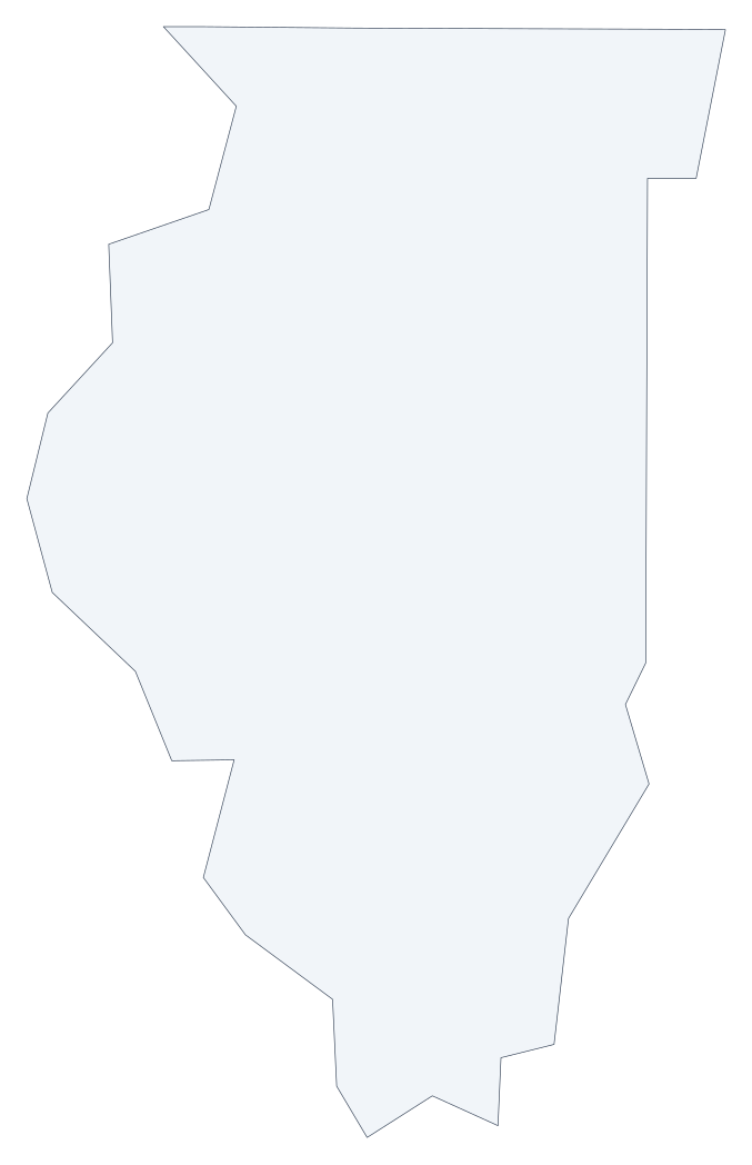 Illinois outline
 -
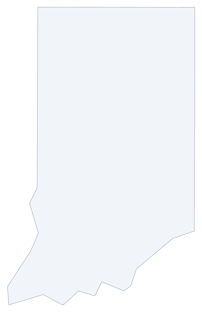 Indiana outline
 -
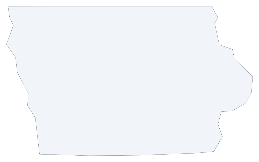 Iowa outline
 -
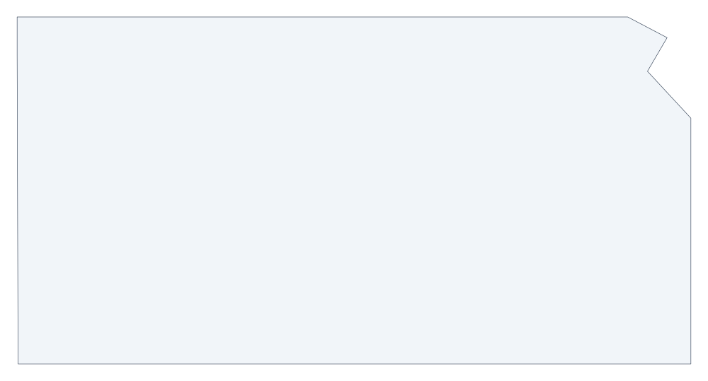 Kansas outline
 -
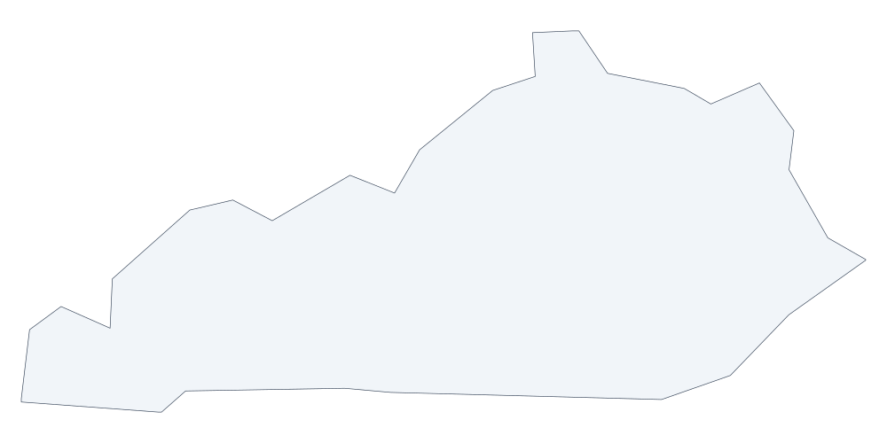 Kentucky outline
 -
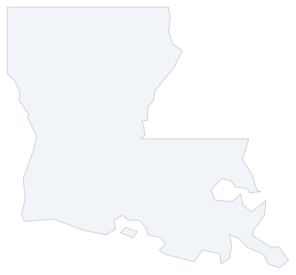 Louisiana outline
 -
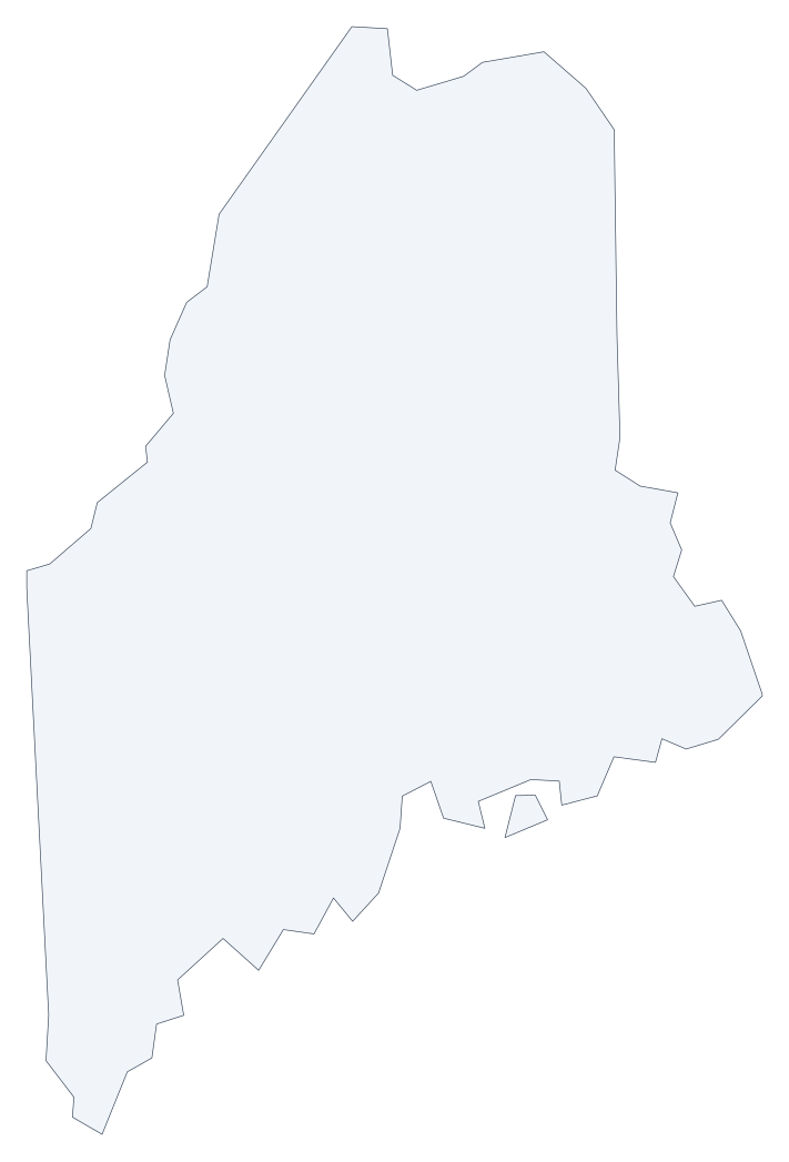 Maine outline
 -
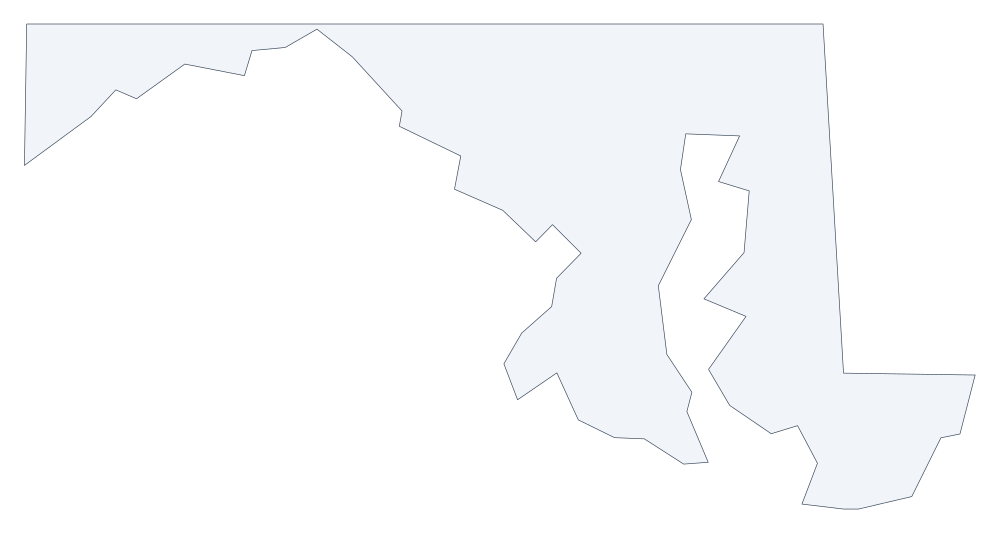 Maryland outline
 -
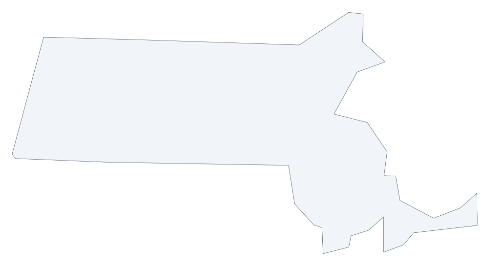 Massachusetts outline
 -
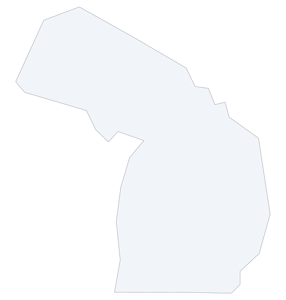 Michigan outline
 -
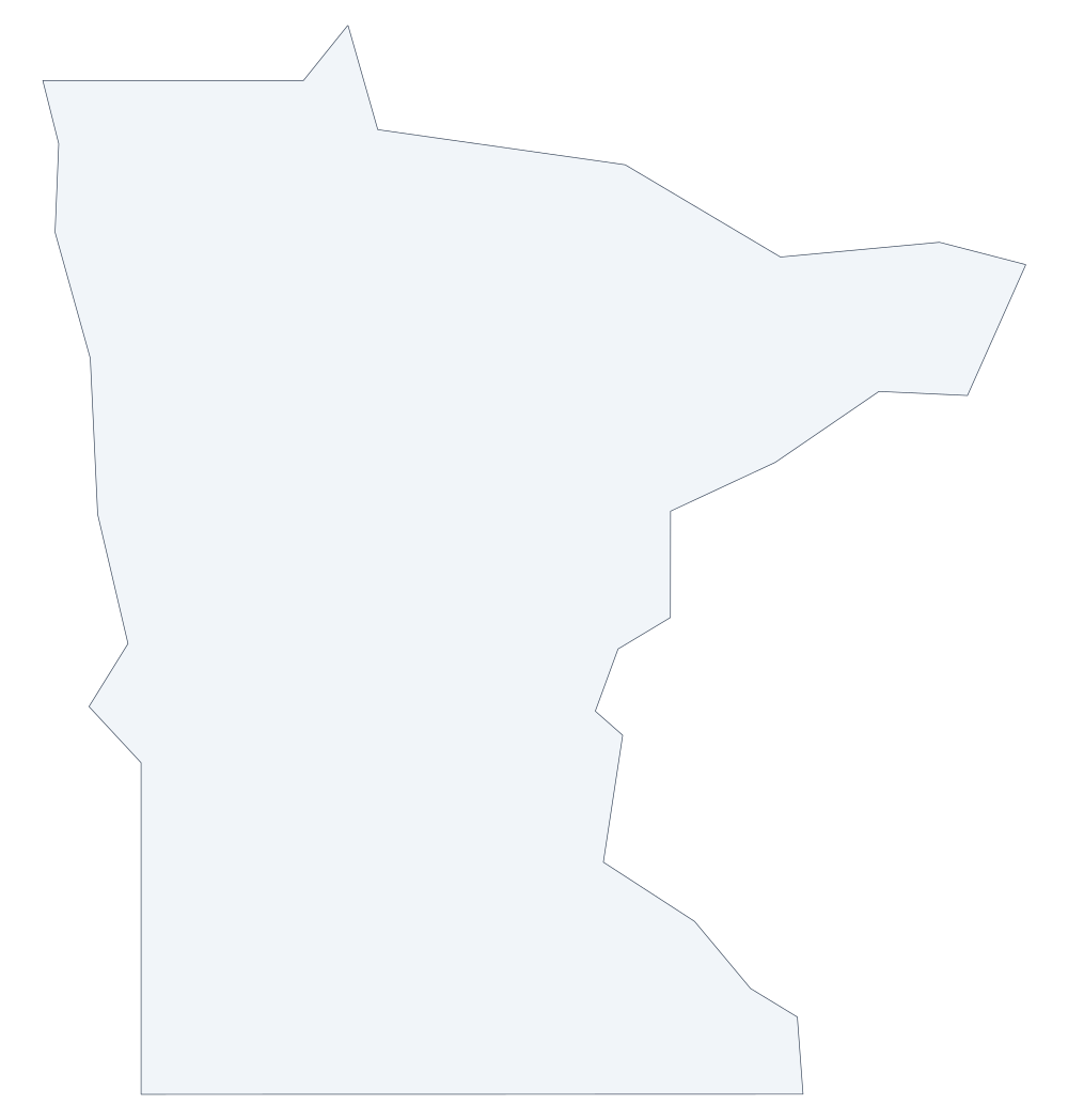 Minnesota outline
 -
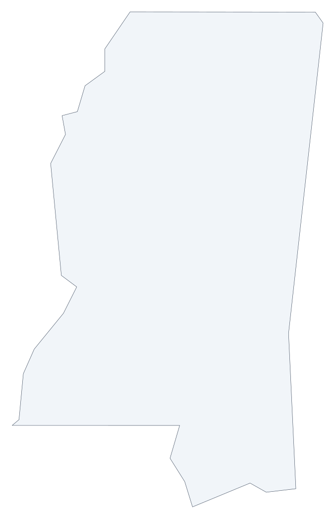 Mississippi outline
 -
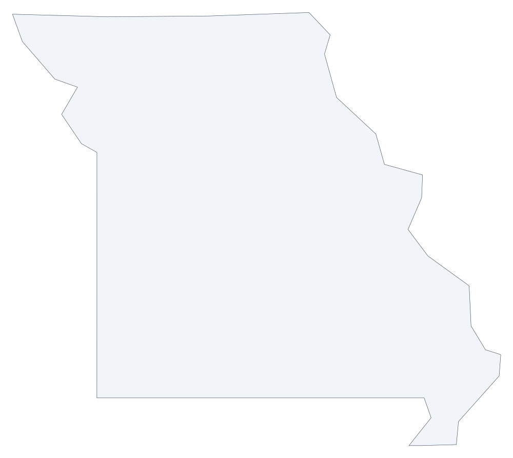 Missouri outline
 -
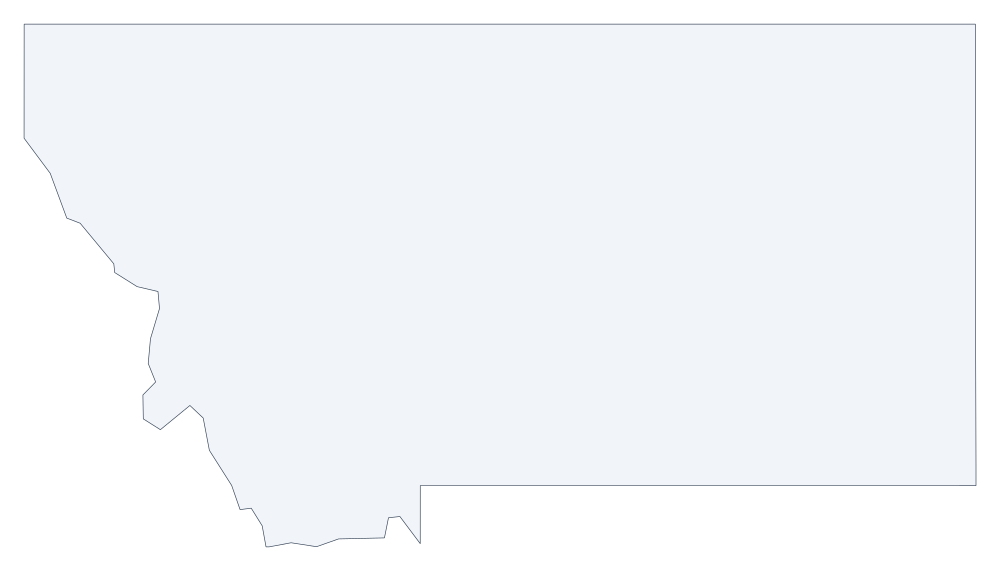 Montana outline
 -
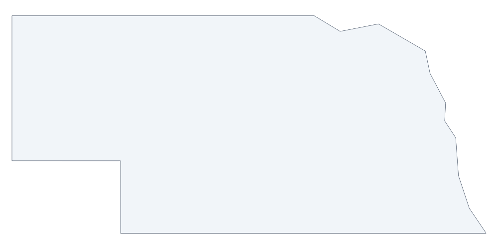 Nebraska outline
 -
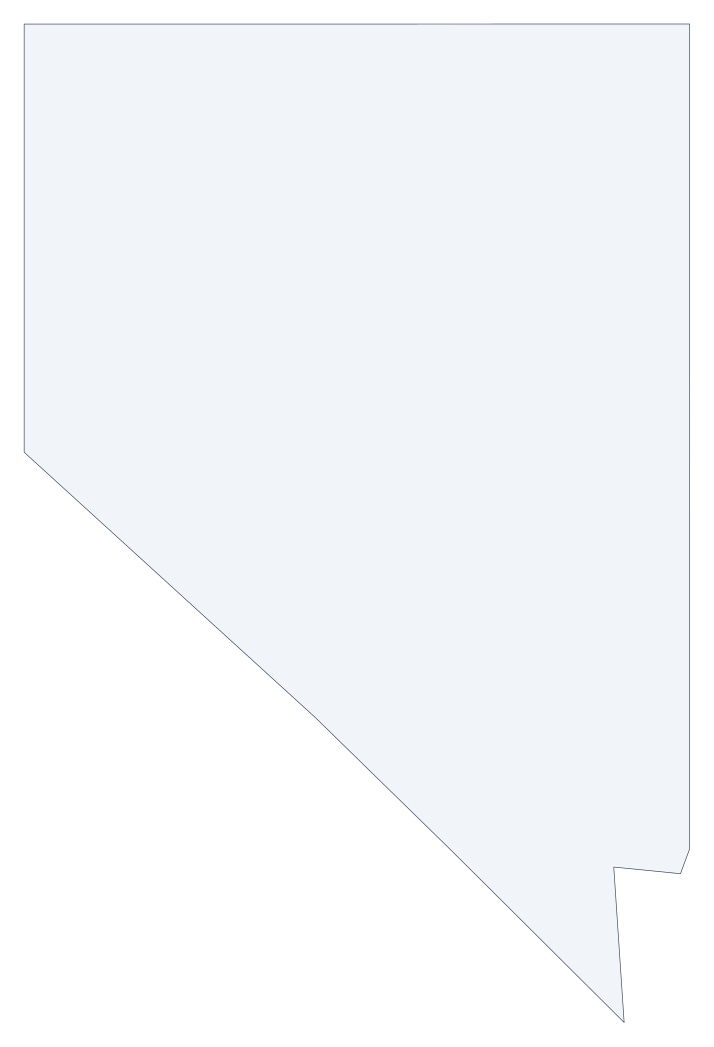 Nevada outline
 -
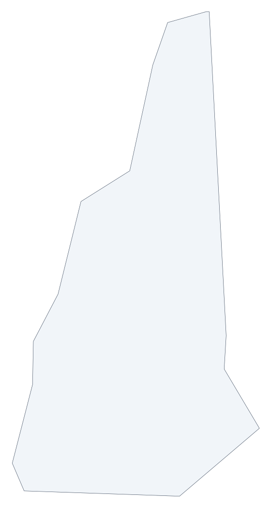 New Hampshire outline
 -
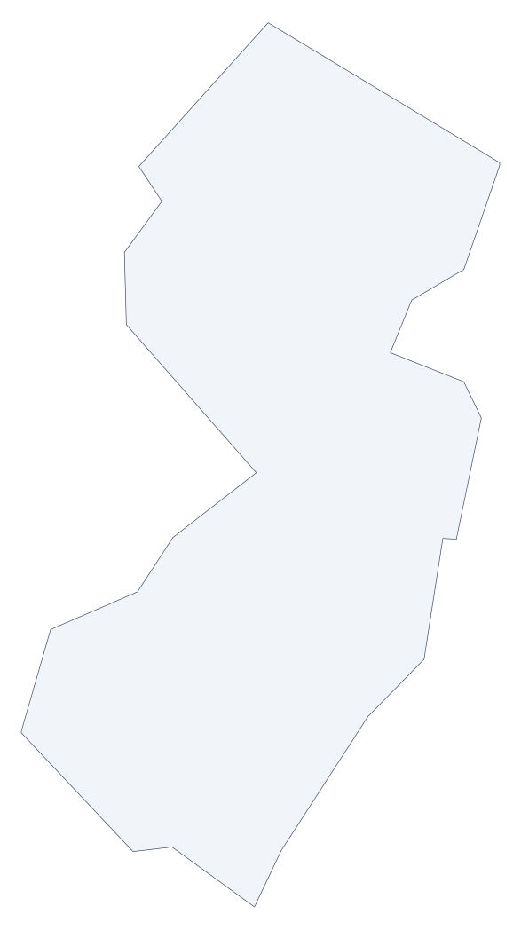 New Jersey outline
 -
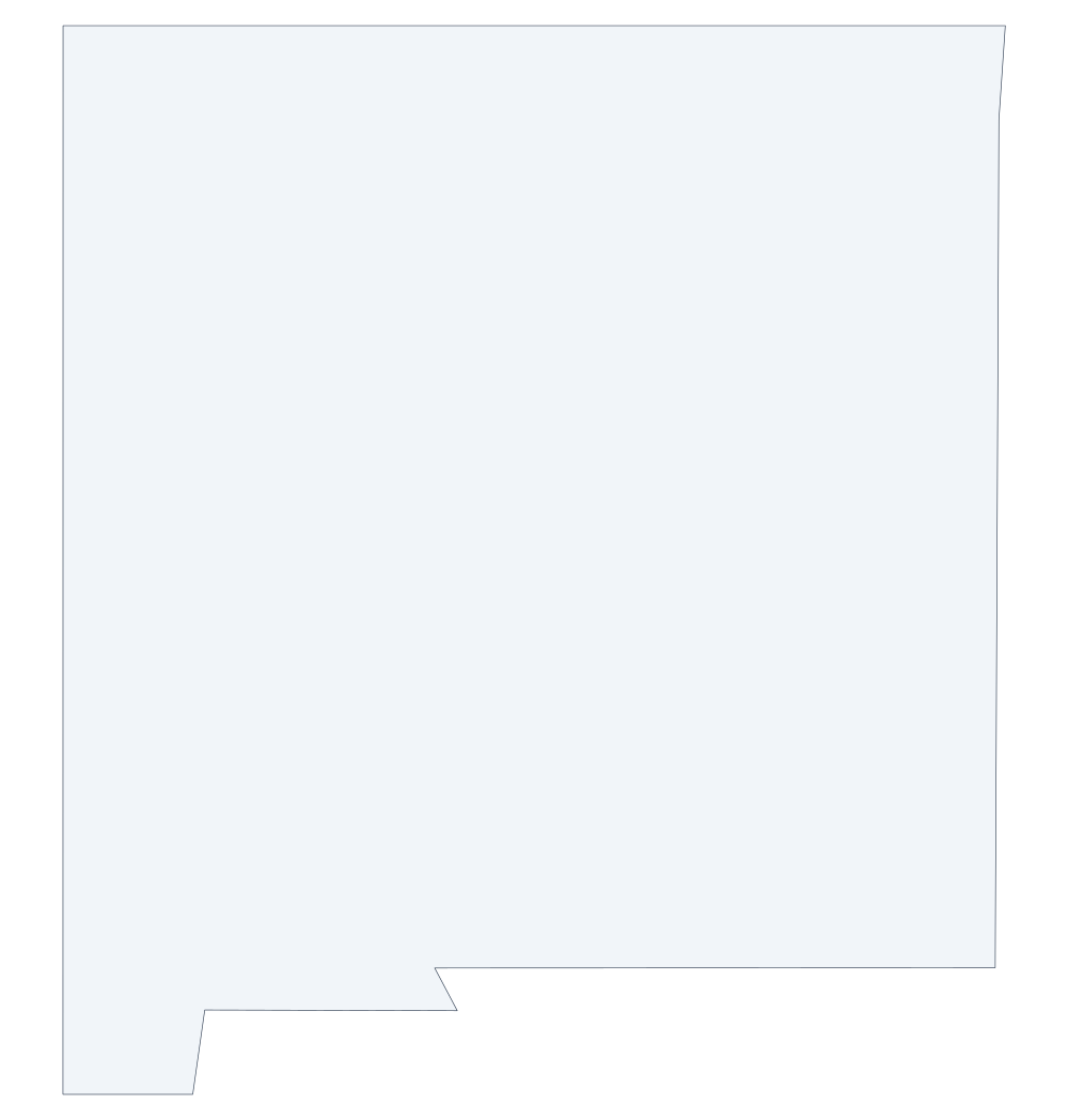 New Mexico outline
 -
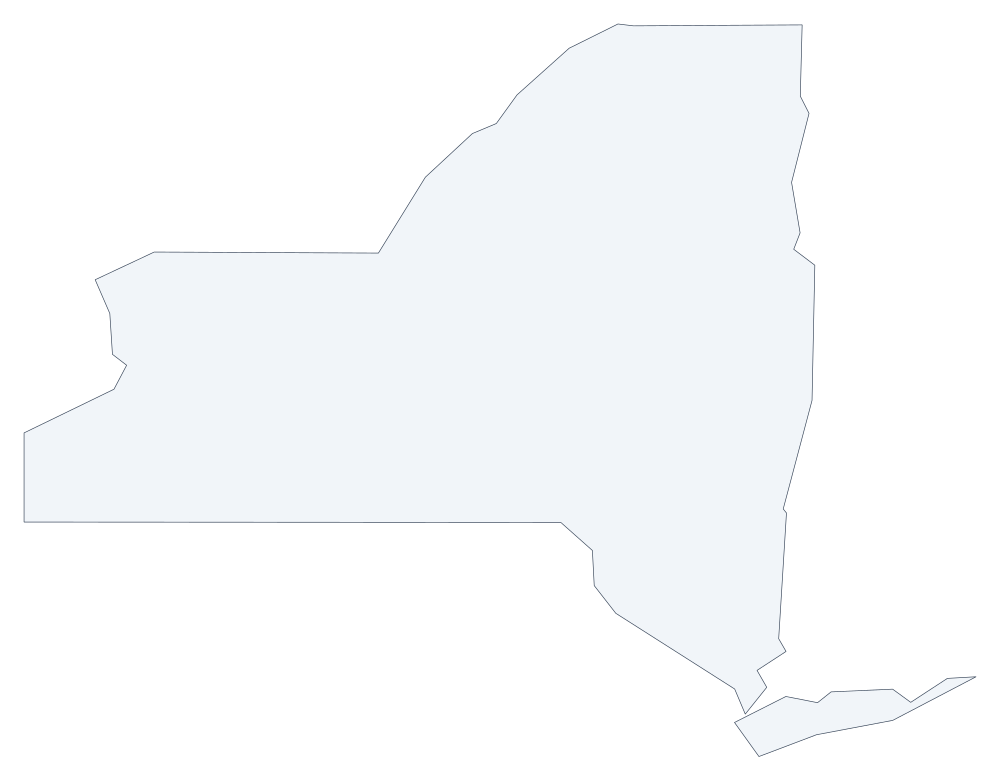 New York outline
 -
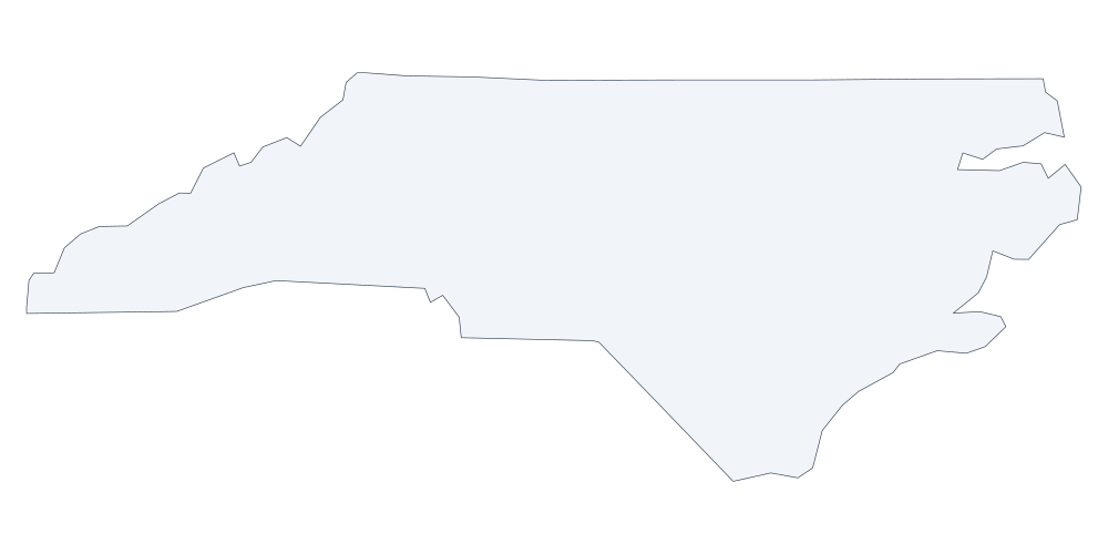 North Carolina outline
 -
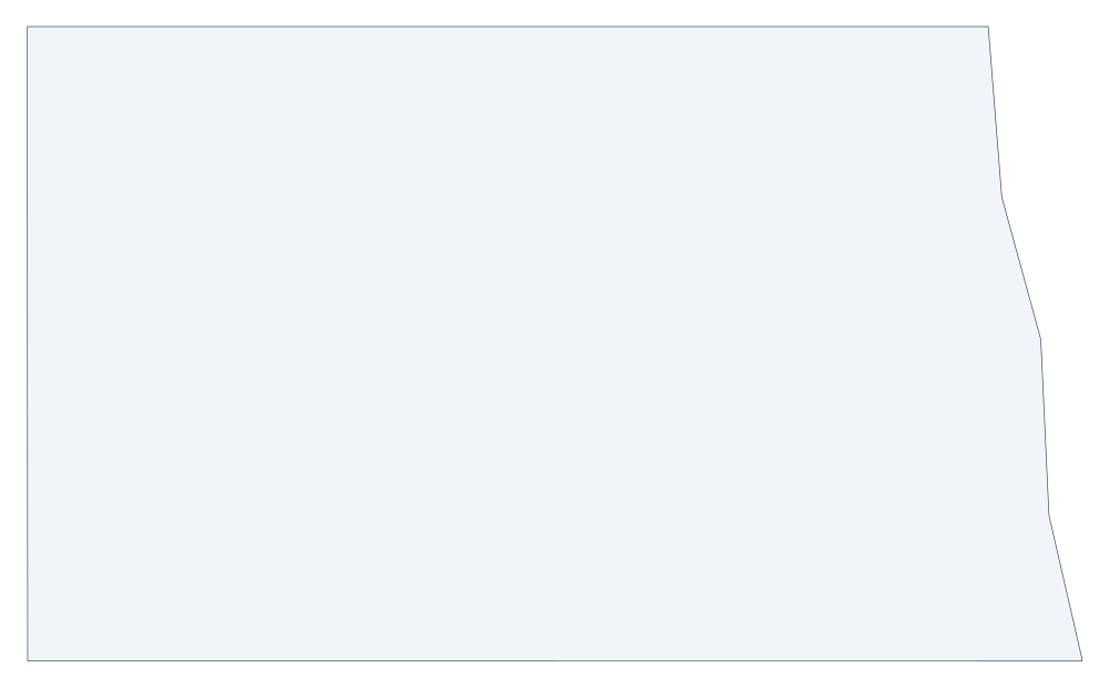 North Dakota outline
 -
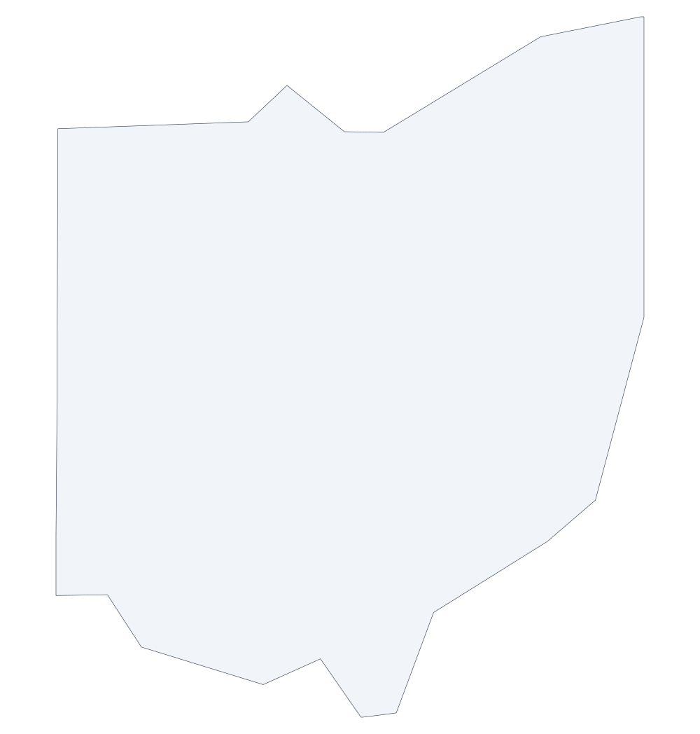 Ohio outline
 -
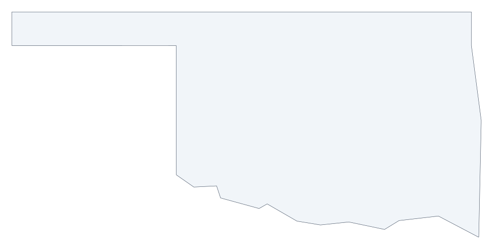 Oklahoma outline
 -
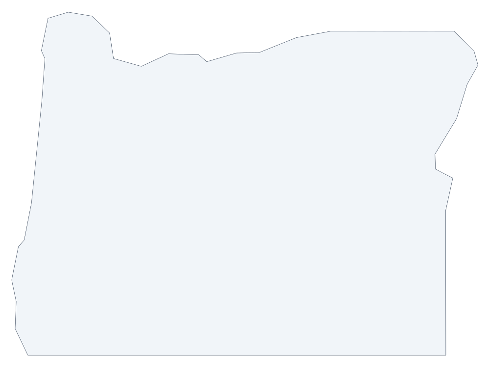 Oregon outline
 -
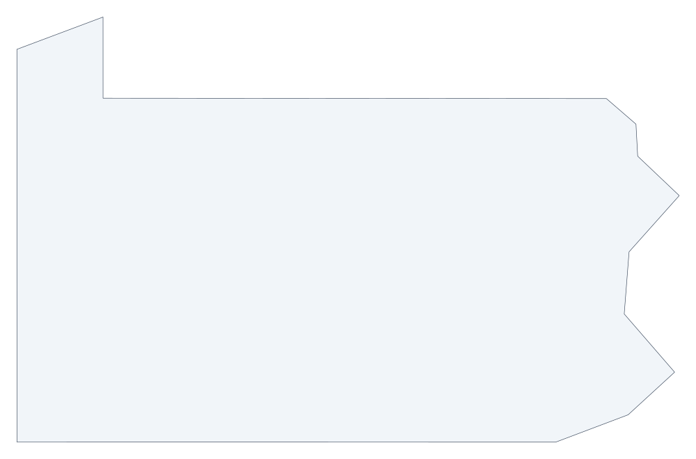 Pennsylvania outline
 -
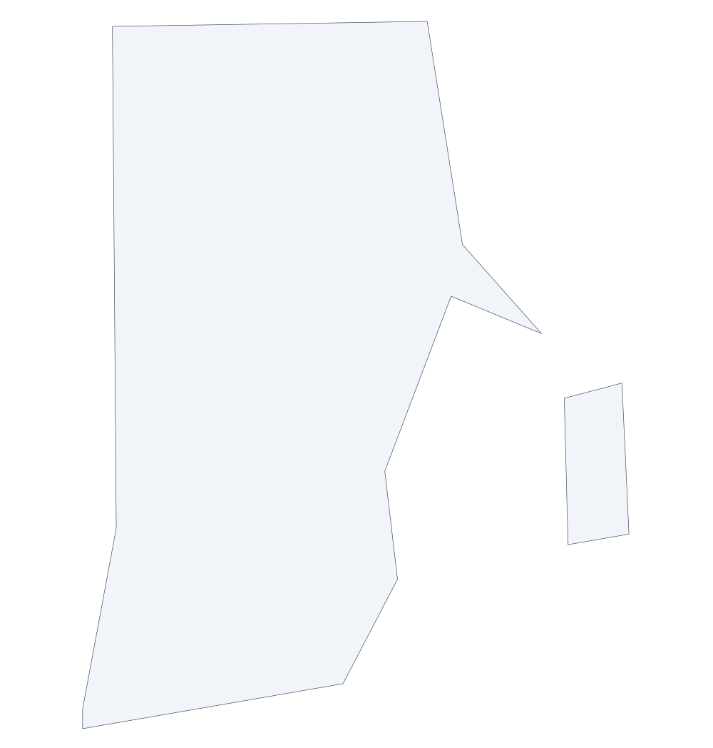 Rhode Island outline
 -
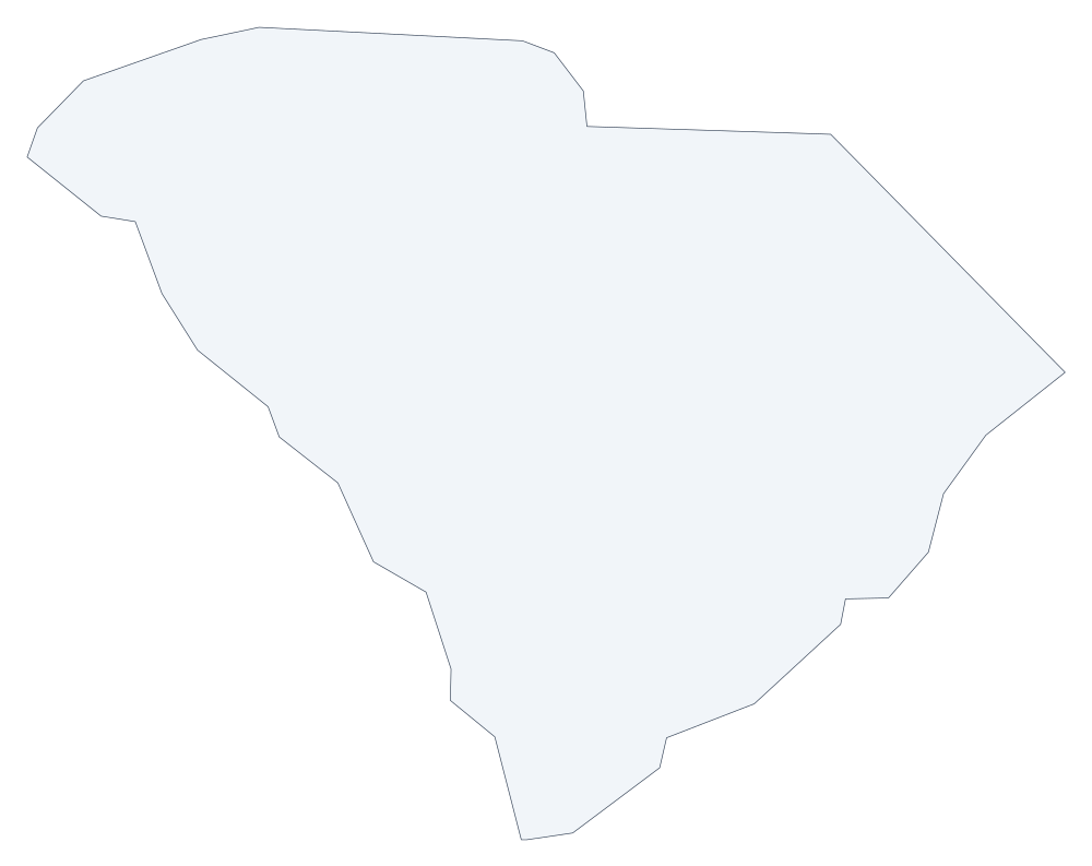 South Carolina outline
 -
 South Dakota outline
 -
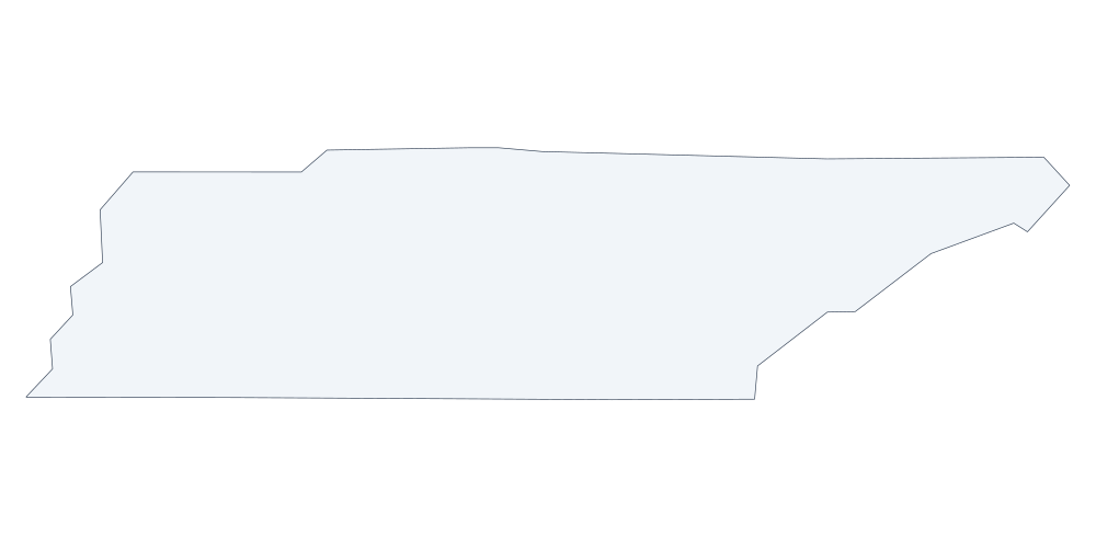 Tennessee outline
 -
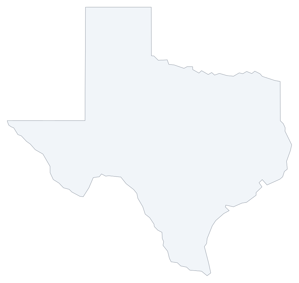 Texas outline
 -
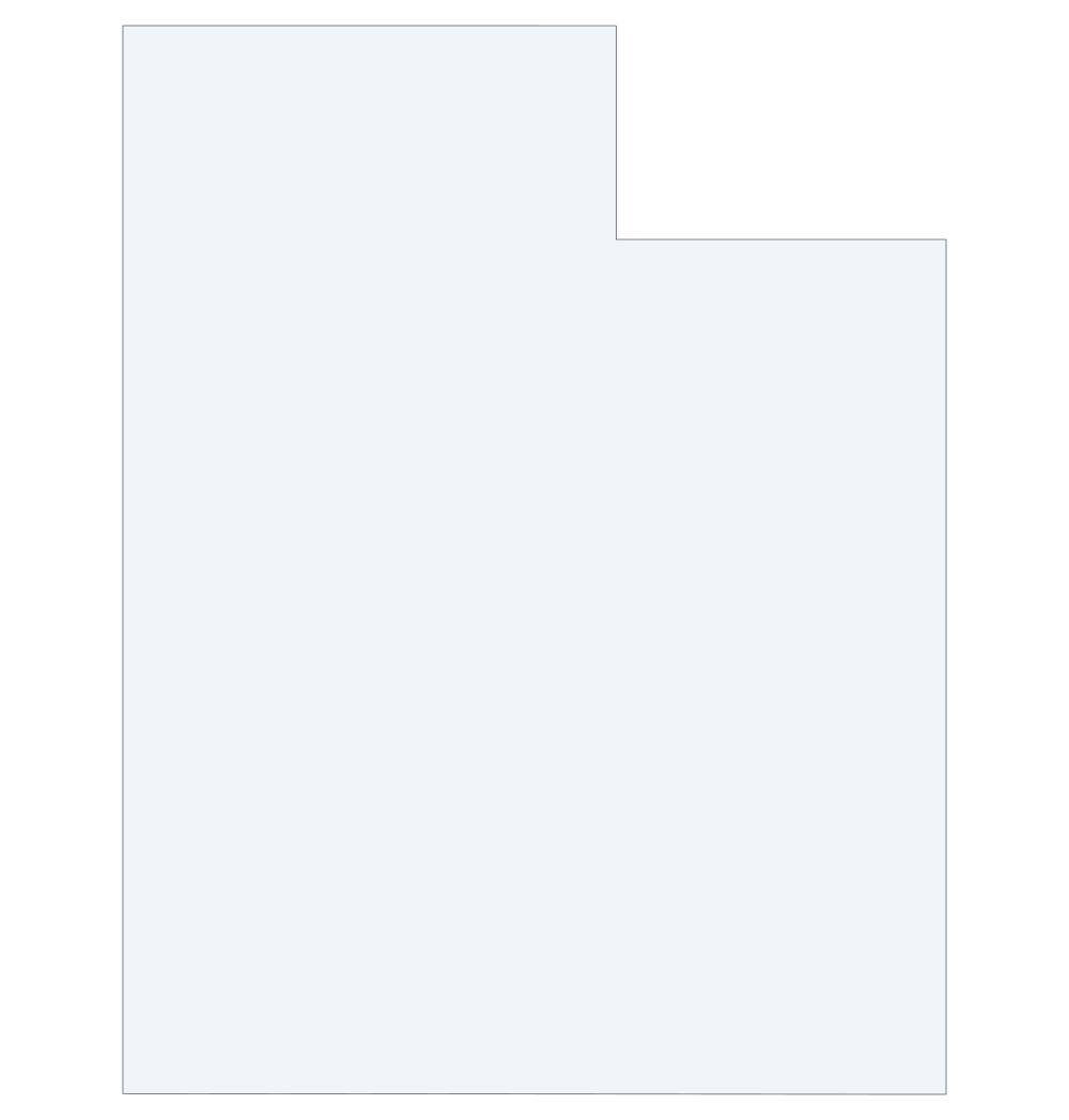 Utah outline
 -
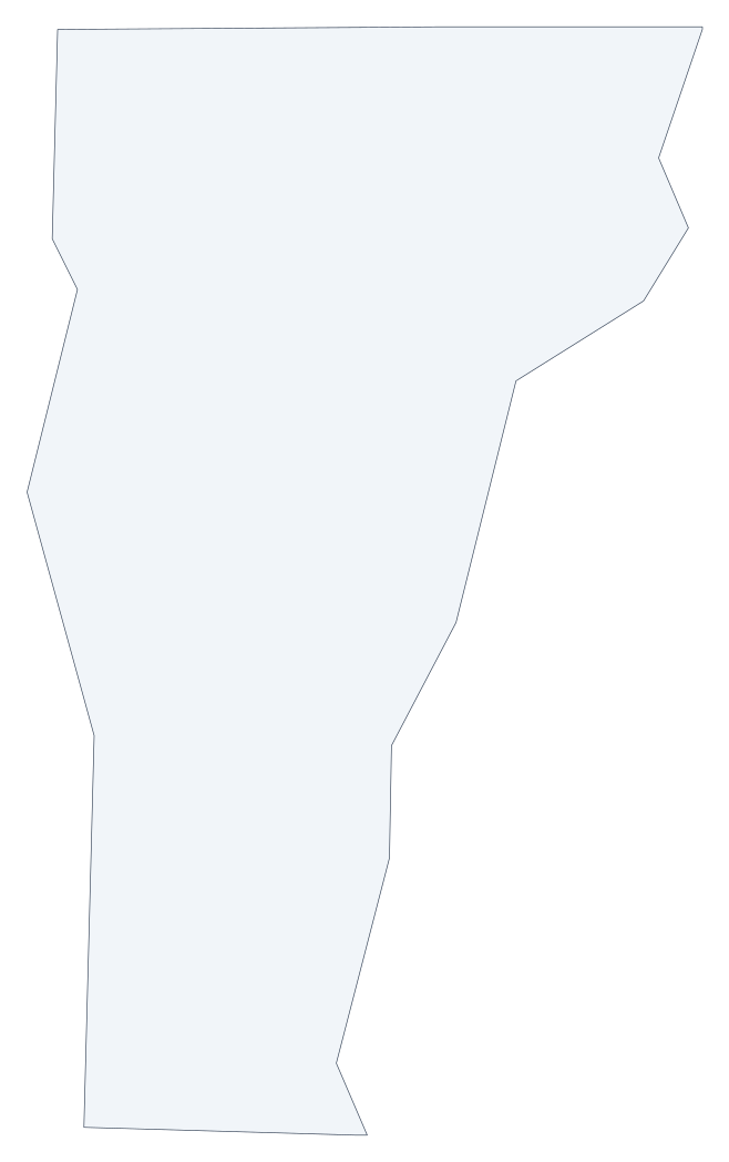 Vermont outline
 -
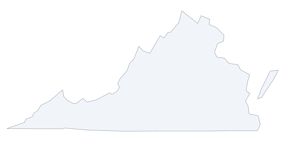 Virginia outline
 -
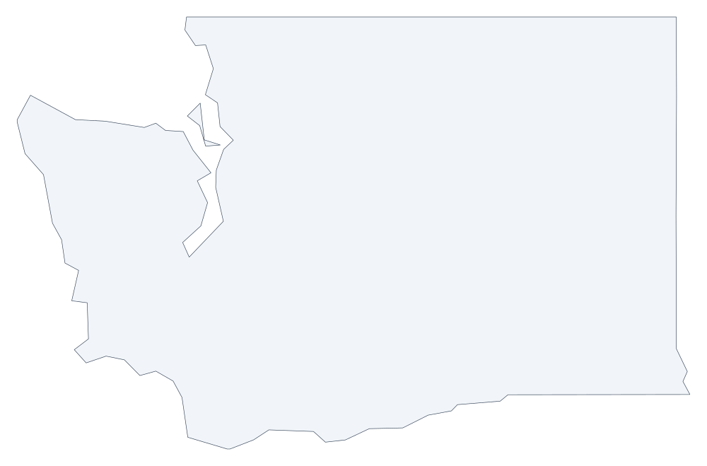 Washington outline
 -
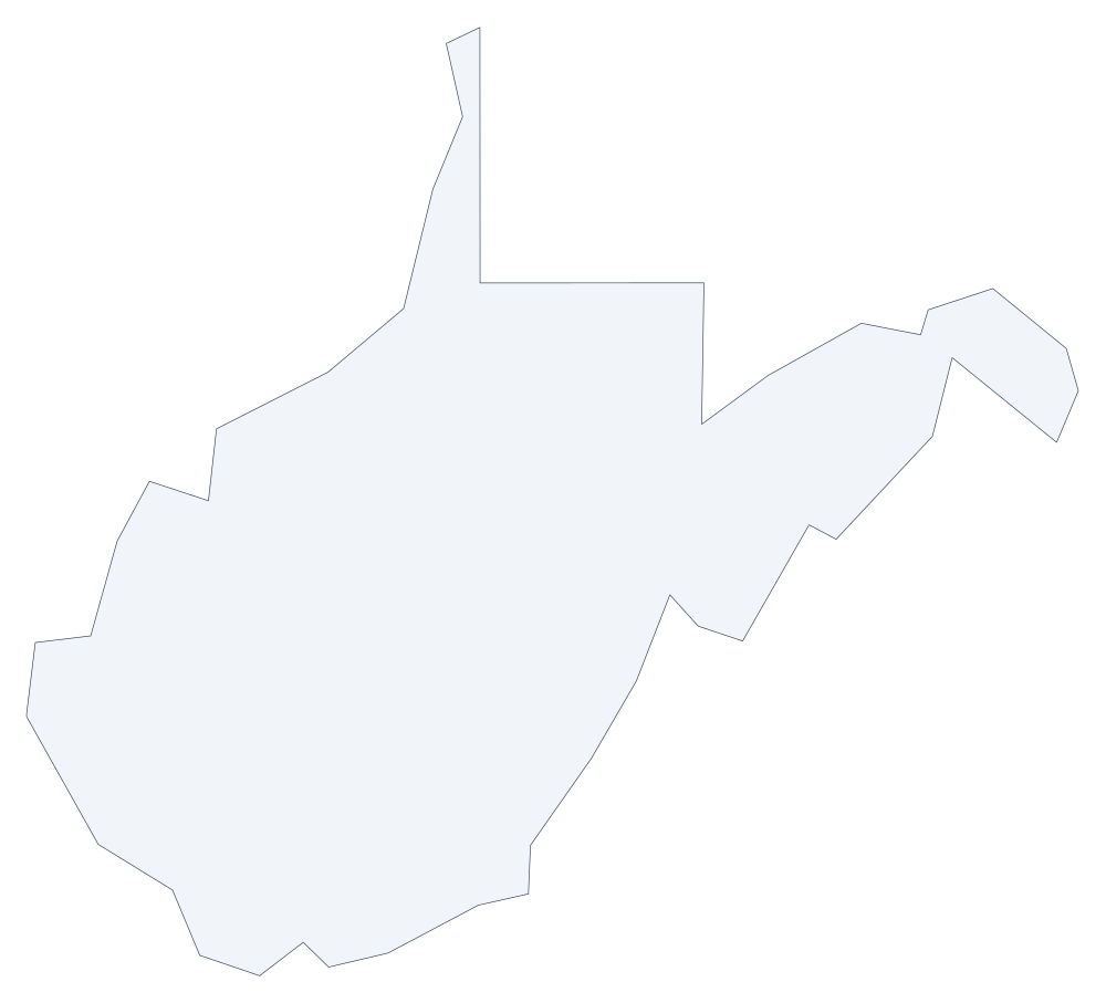 West Virginia outline
 -
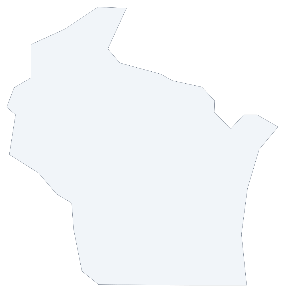 Wisconsin outline
 -
 Wyoming outline
Countries
National outlines with their administrative areas as separate divisions.
-
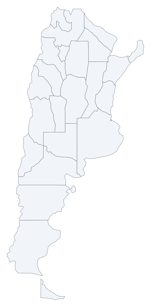 Argentina 24
 -
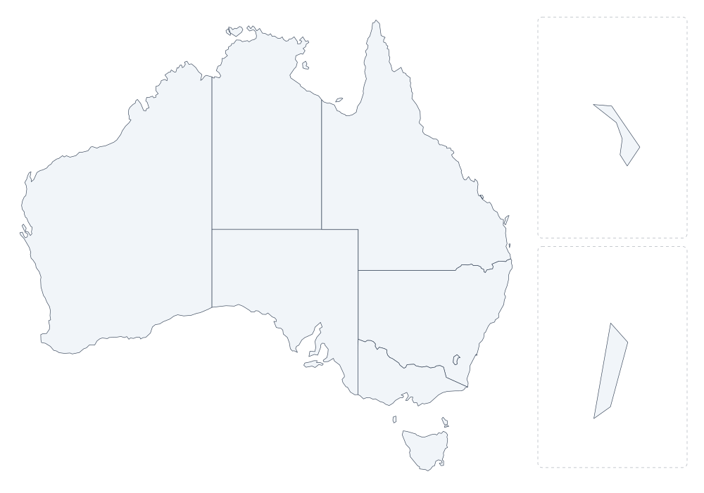 Australia 11
 -
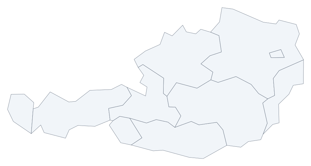 Austria 9
 -
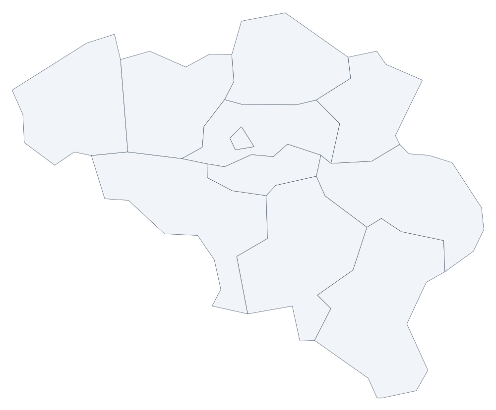 Belgium 11
 -
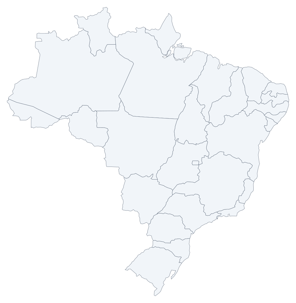 Brazil 27
 -
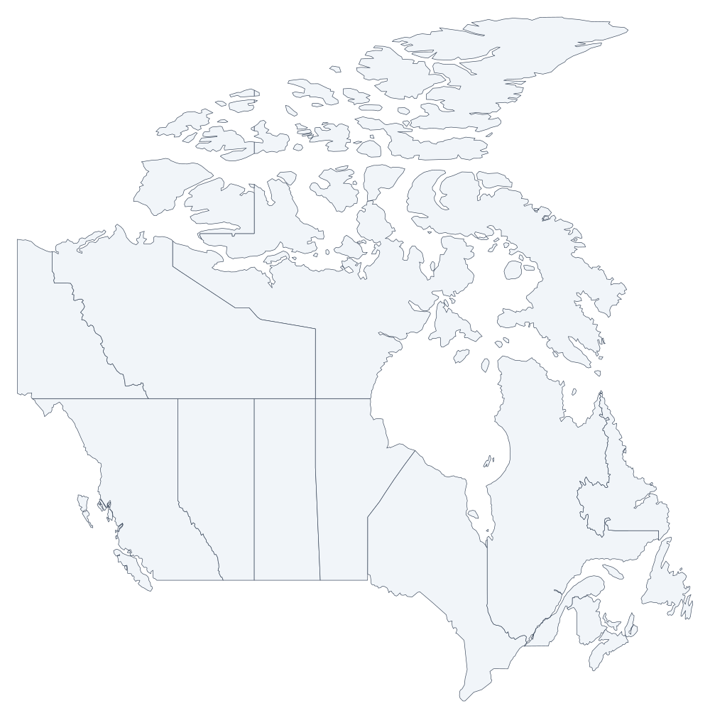 Canada 13
 -
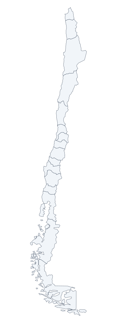 Chile 16
 -
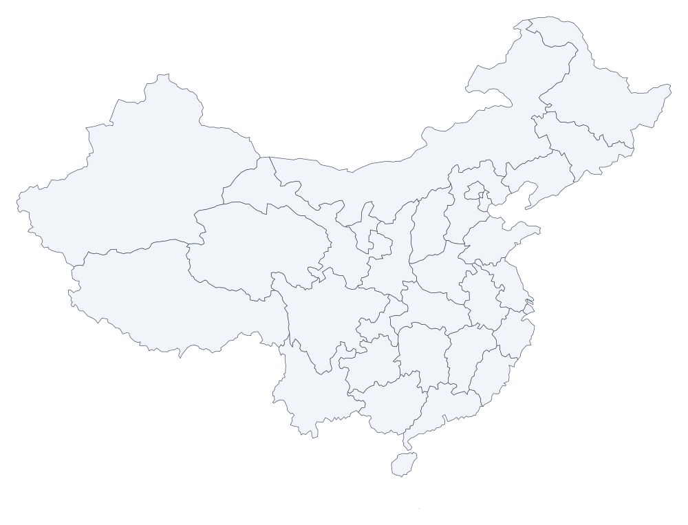 China 32
 -
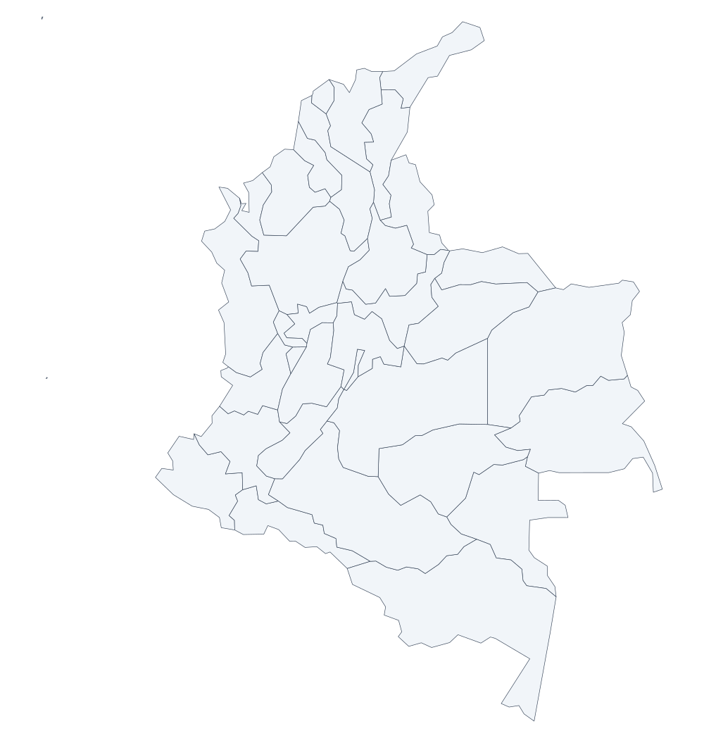 Colombia 34
 -
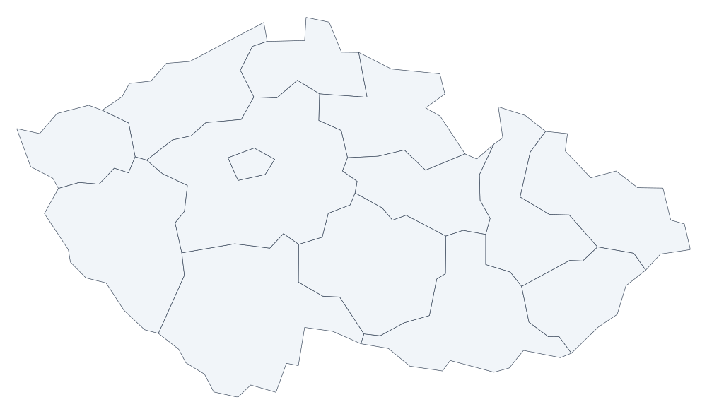 Czech Republic 14
 -
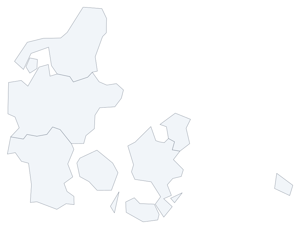 Denmark 5
 -
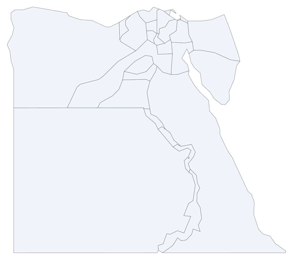 Egypt 27
 -
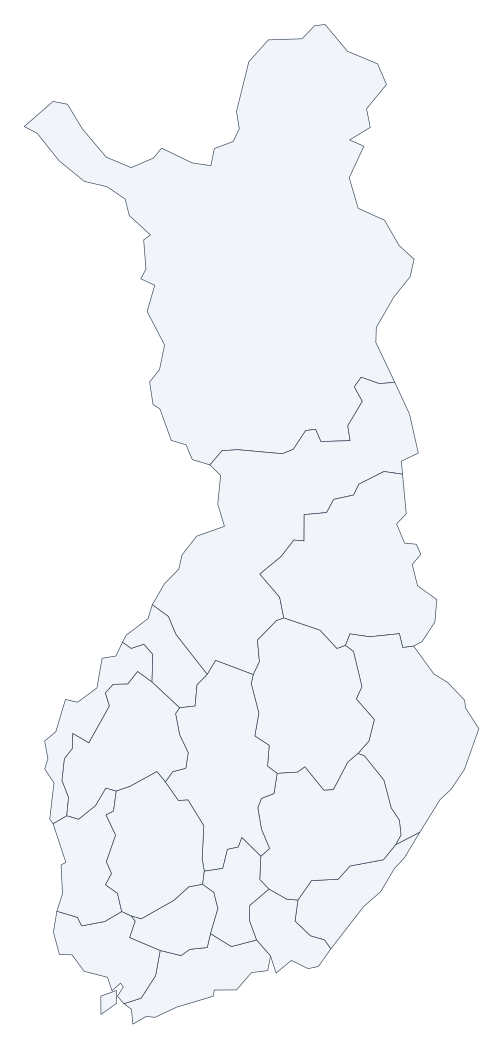 Finland 18
 -
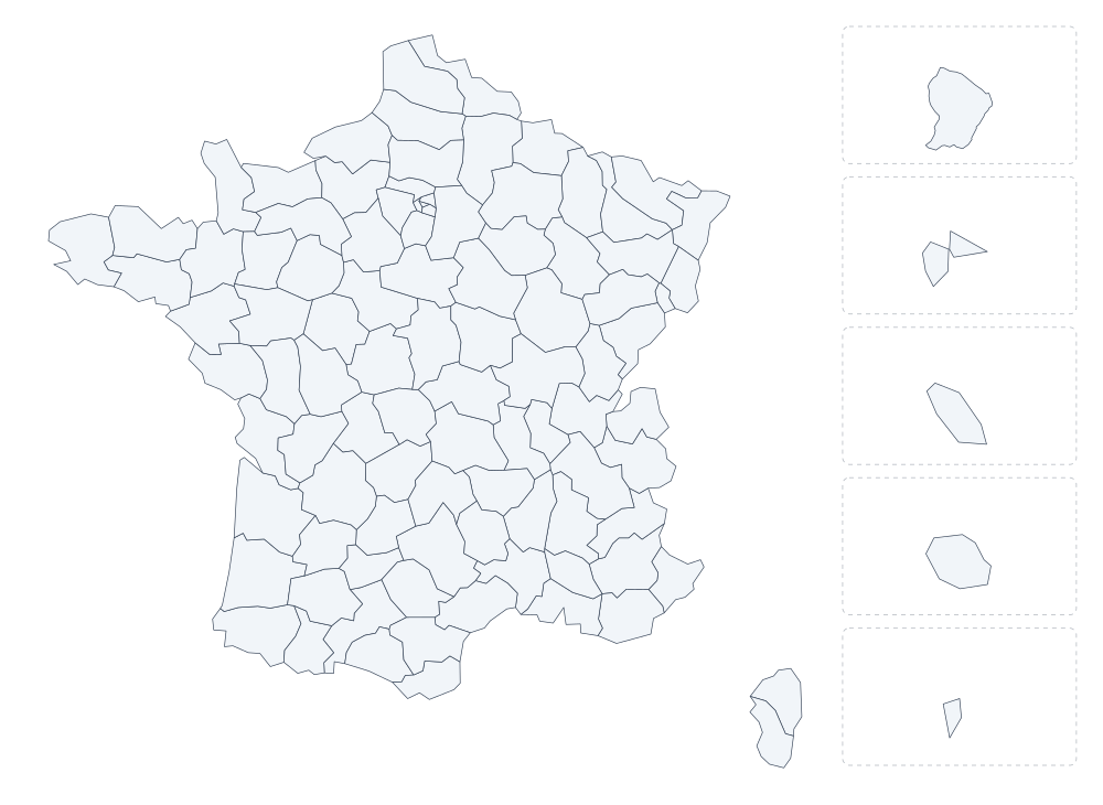 France 101
 -
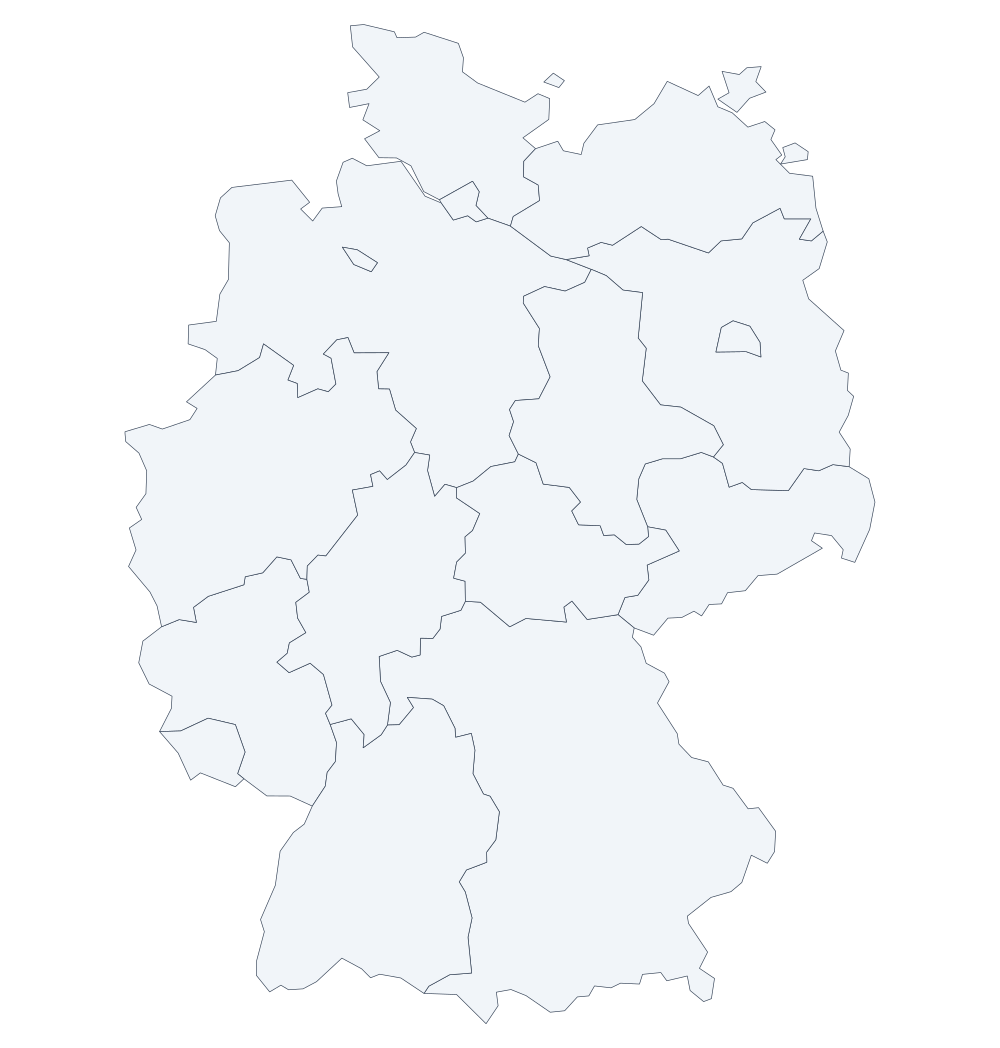 Germany 16
 -
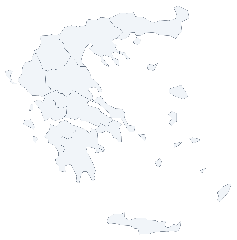 Greece 14
 -
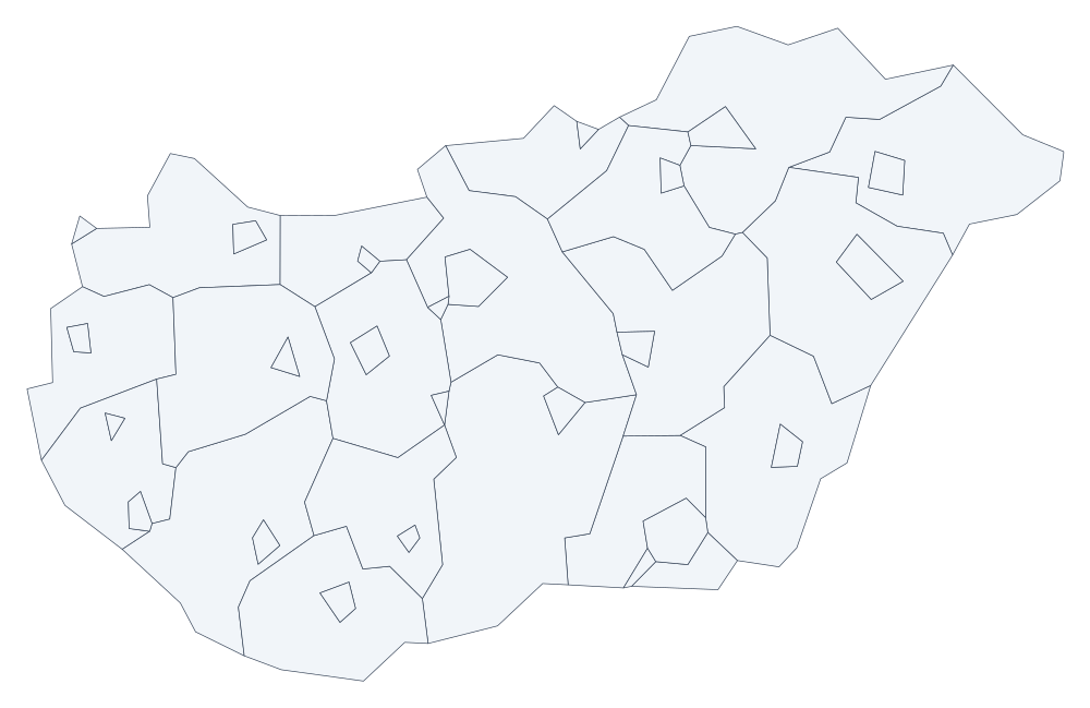 Hungary 43
 -
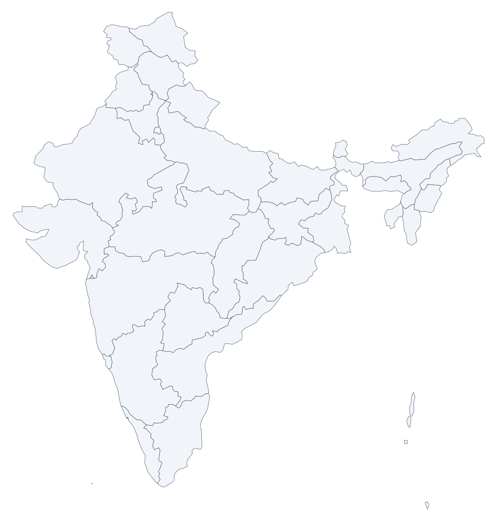 India 36
 -
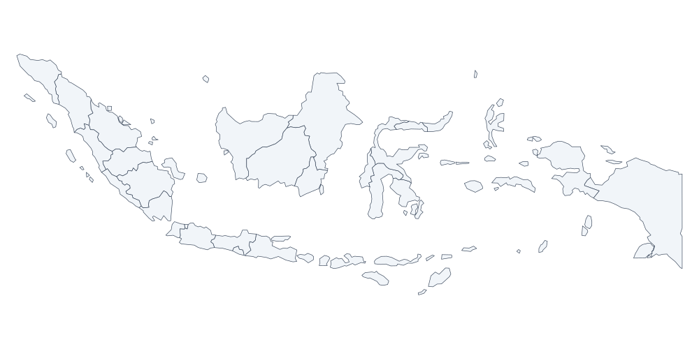 Indonesia 33
 -
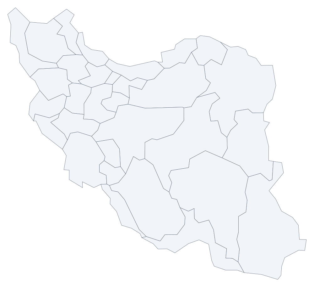 Iran 31
 -
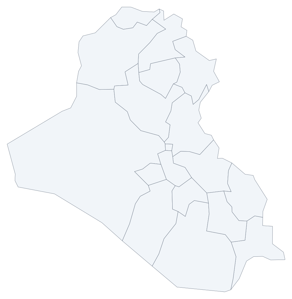 Iraq 18
 -
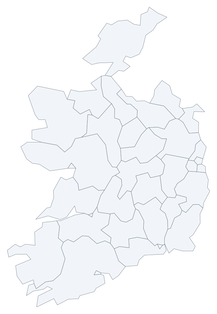 Ireland 34
 -
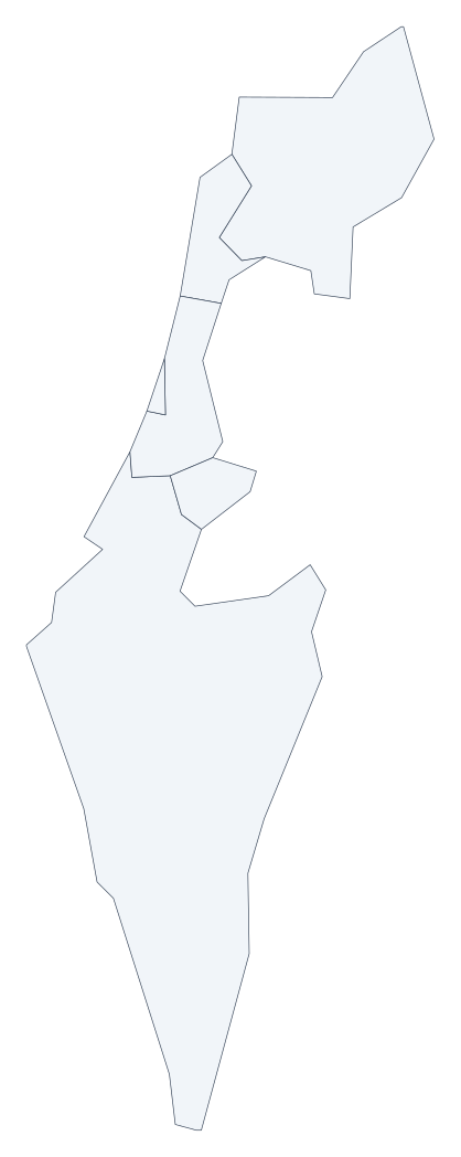 Israel 6
 -
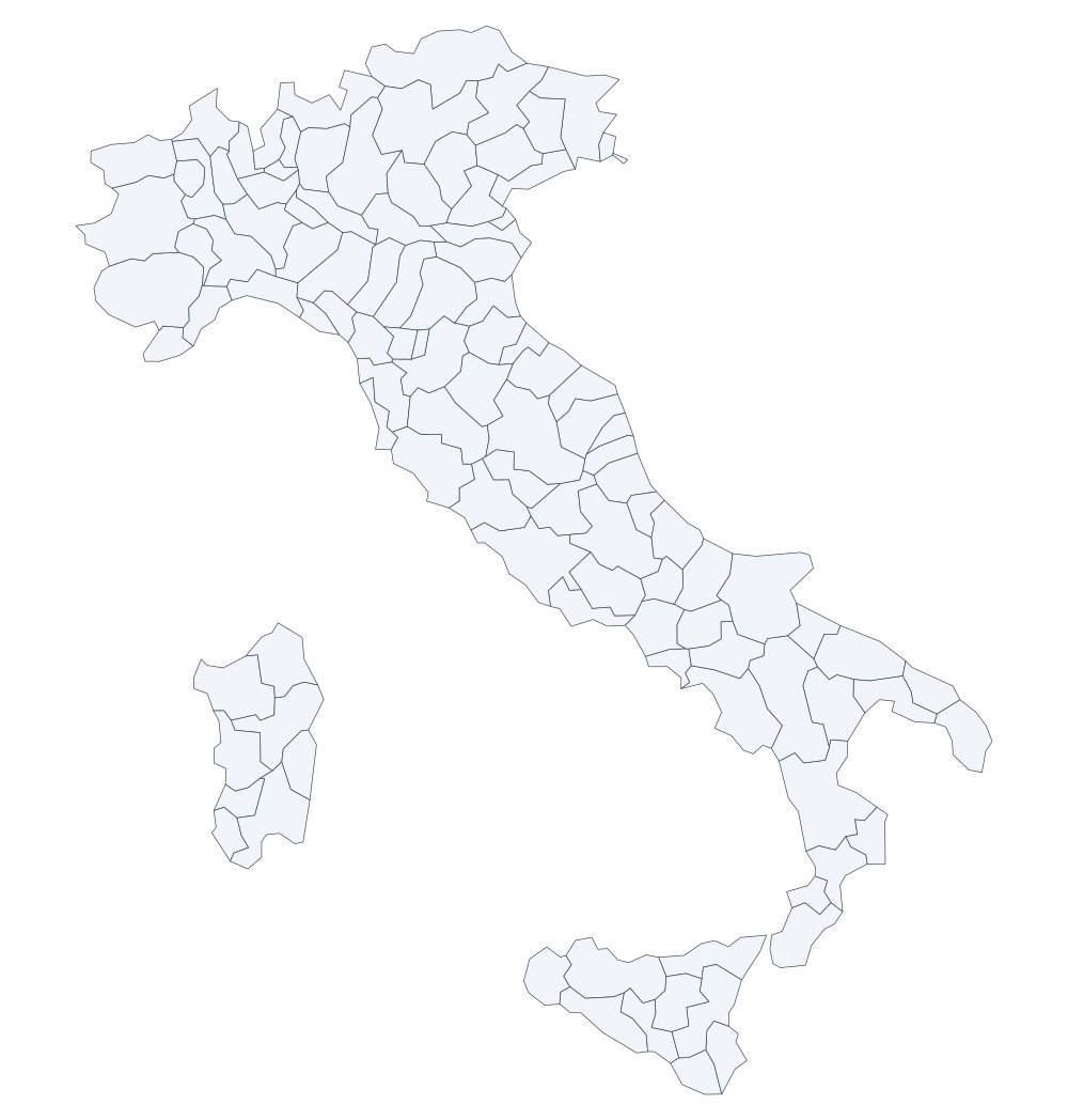 Italy 110
 -
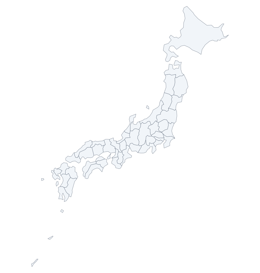 Japan 47
 -
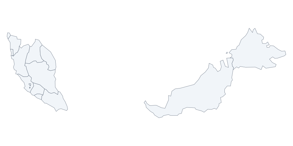 Malaysia 16
 -
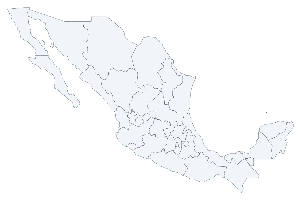 Mexico 33
 -
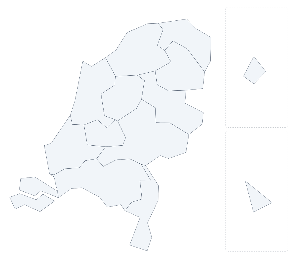 Netherlands 14
 -
 New Zealand 24
 -
 Nigeria 37
 -
 Norway 21
 -
 Pakistan 8
 -
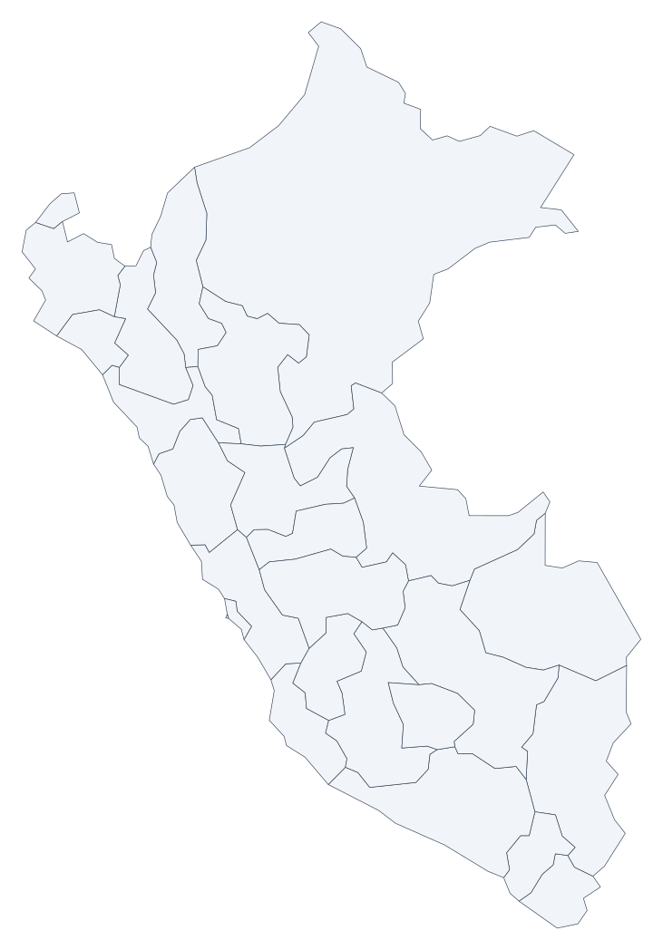 Peru 26
 -
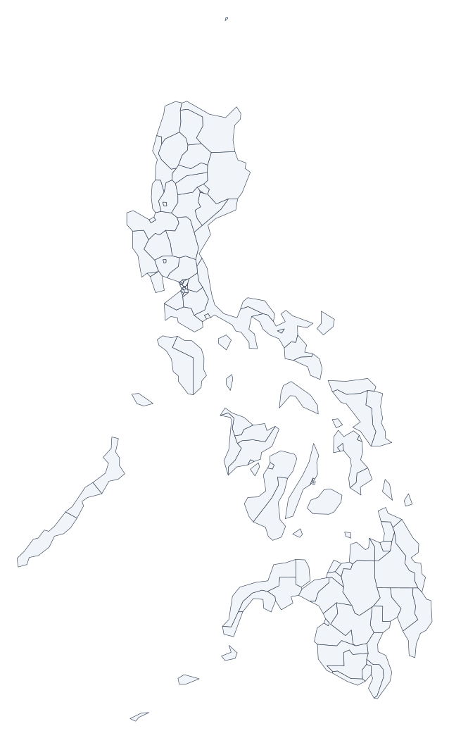 Philippines 118
 -
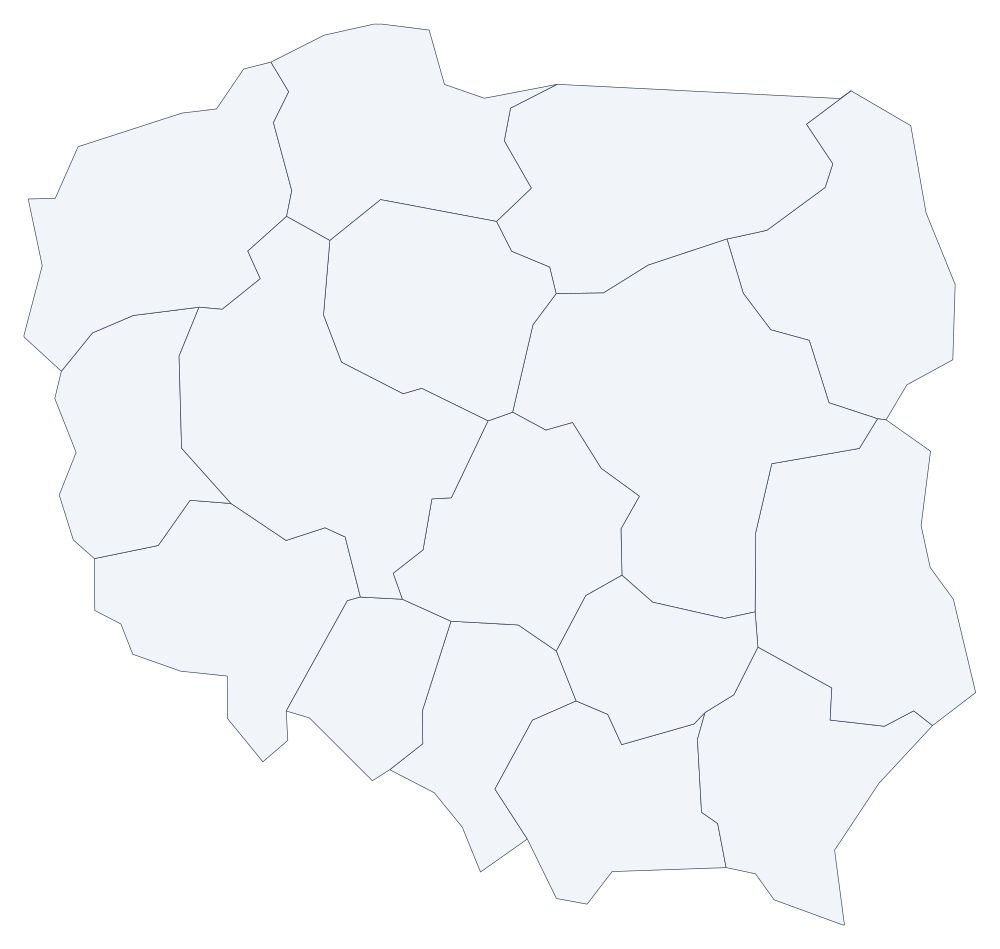 Poland 16
 -
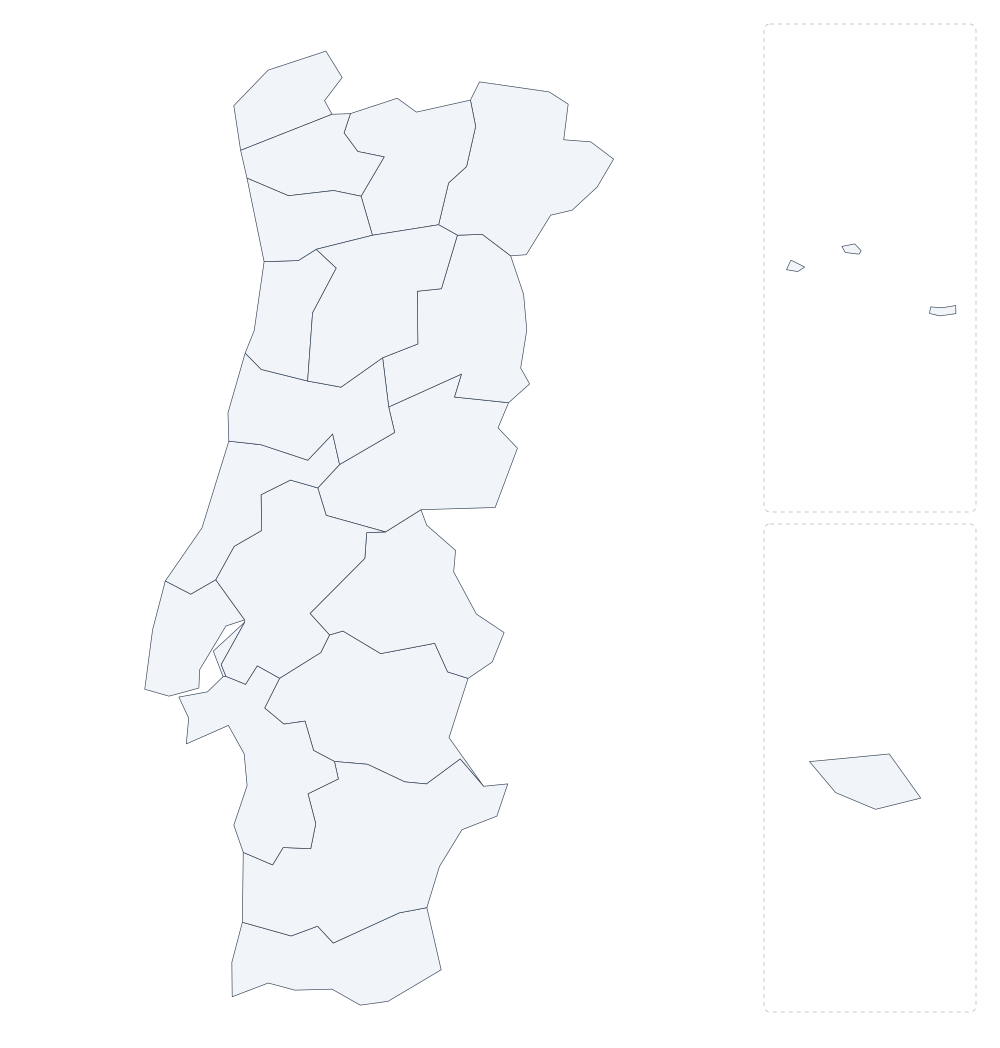 Portugal 20
 -
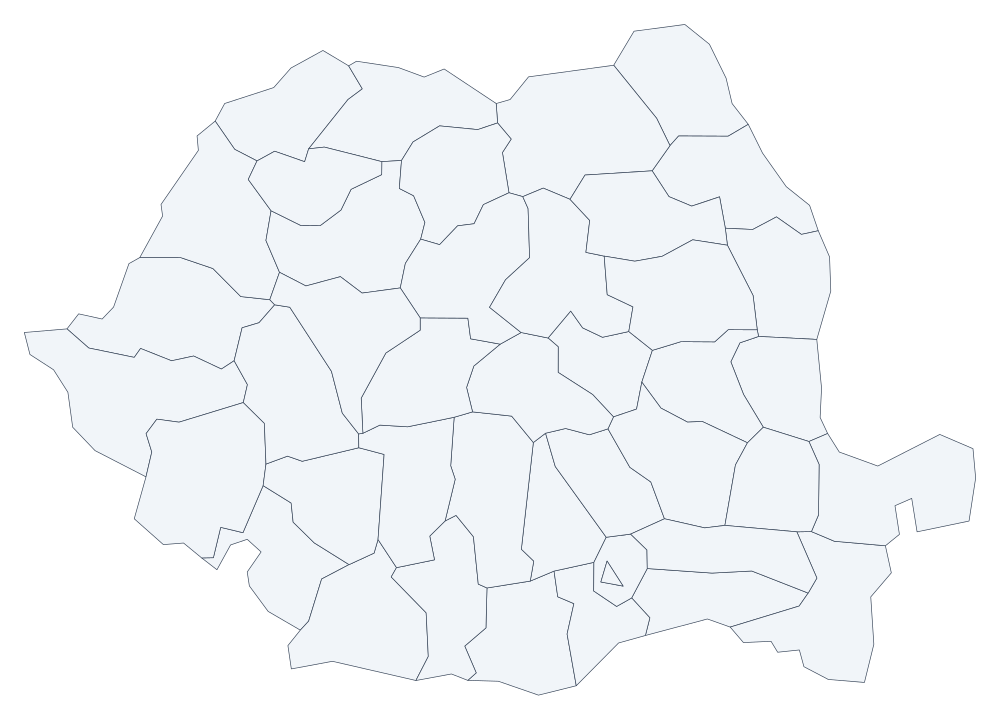 Romania 42
 -
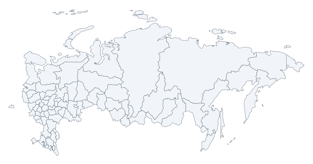 Russia 86
 -
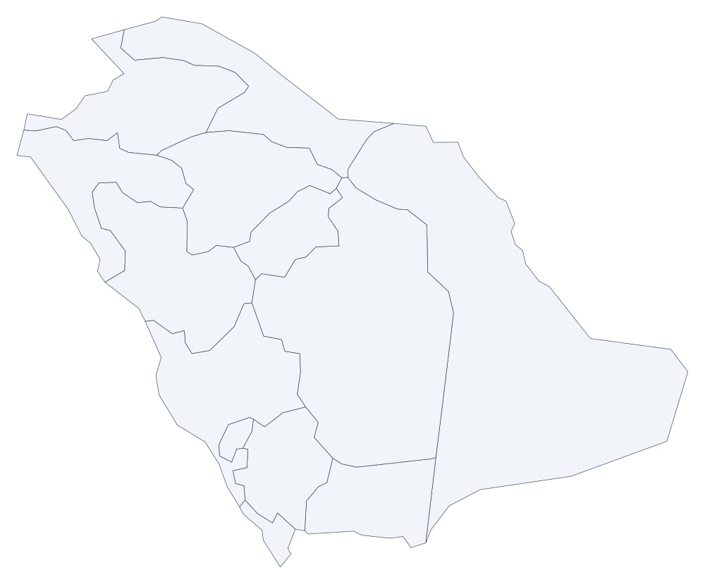 Saudi Arabia 13
 -
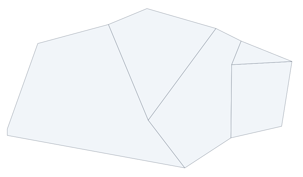 Singapore 5
 -
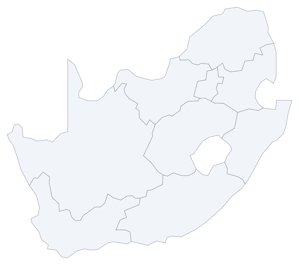 South Africa 9
 -
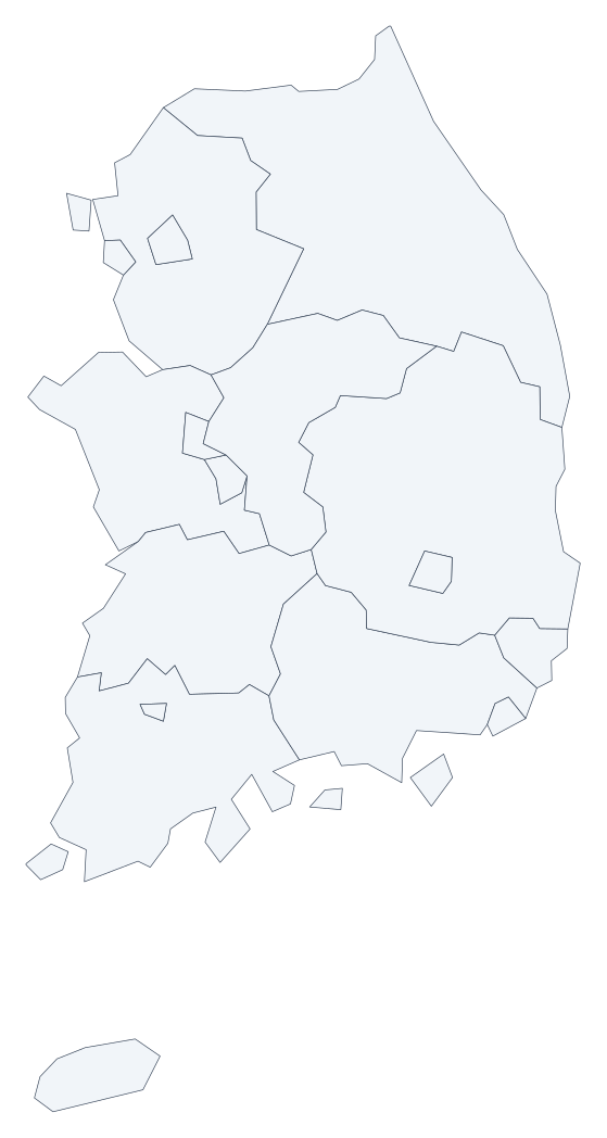 South Korea 17
 -
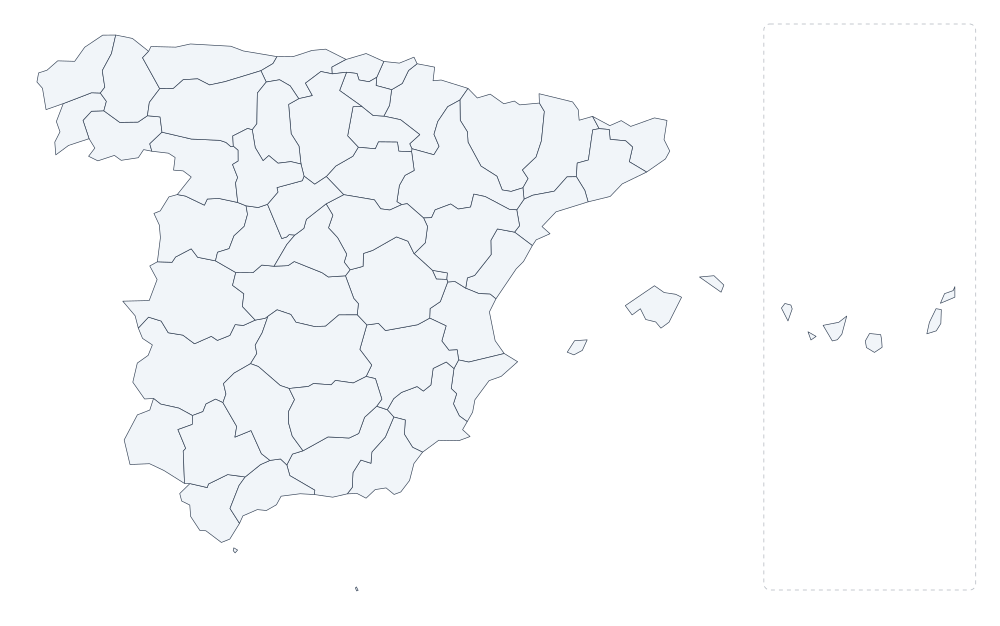 Spain 52
 -
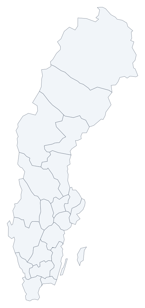 Sweden 21
 -
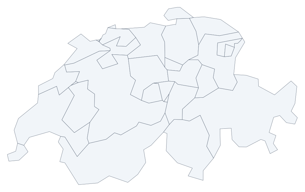 Switzerland 26
 -
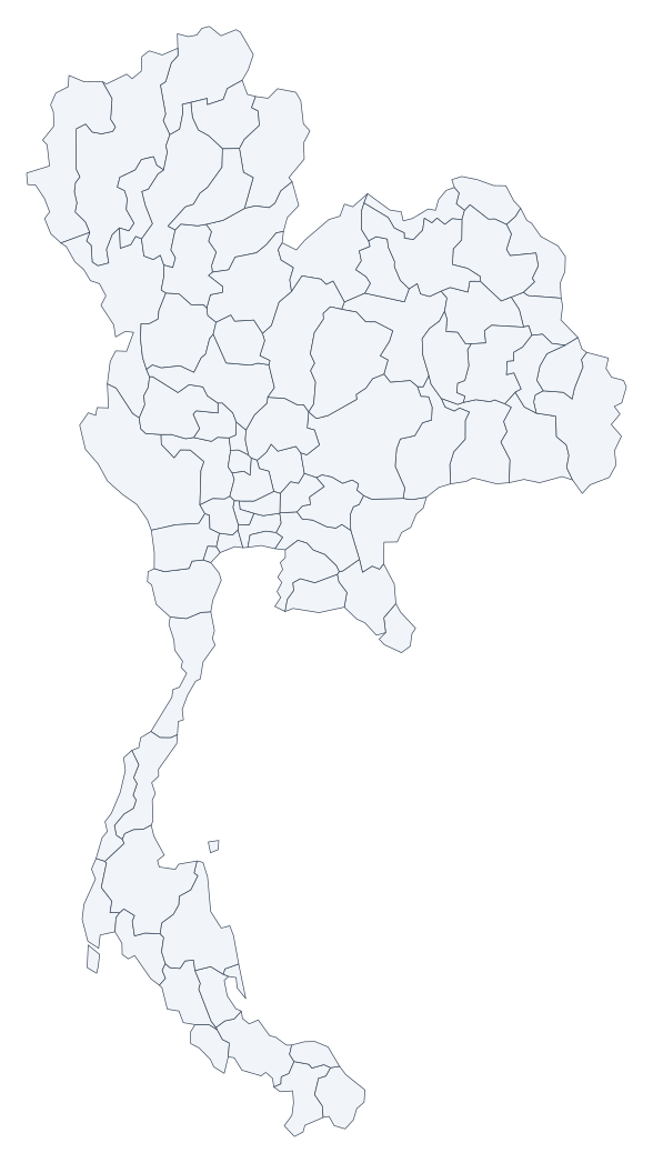 Thailand 77
 -
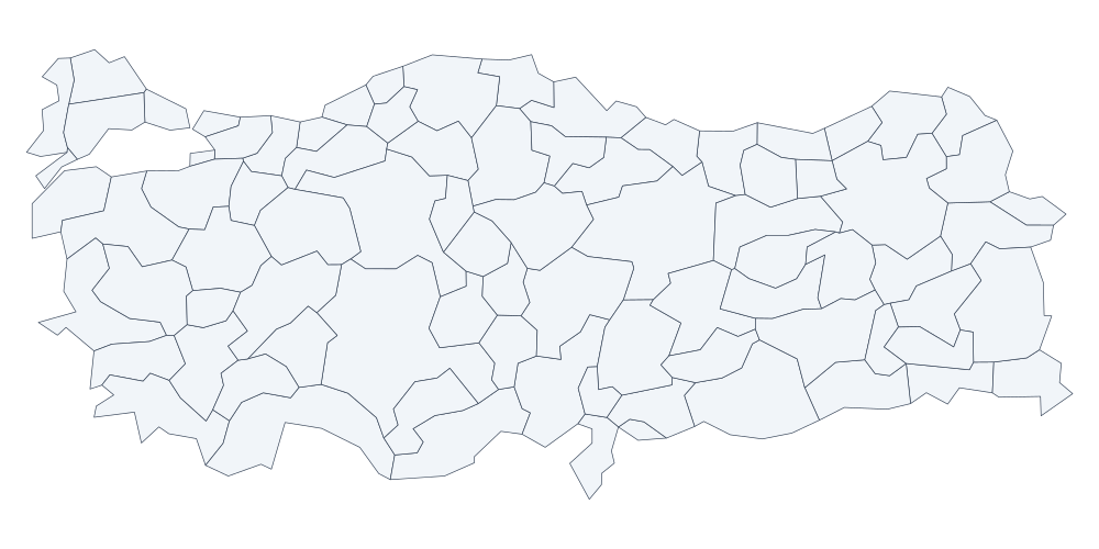 Turkey 81
 -
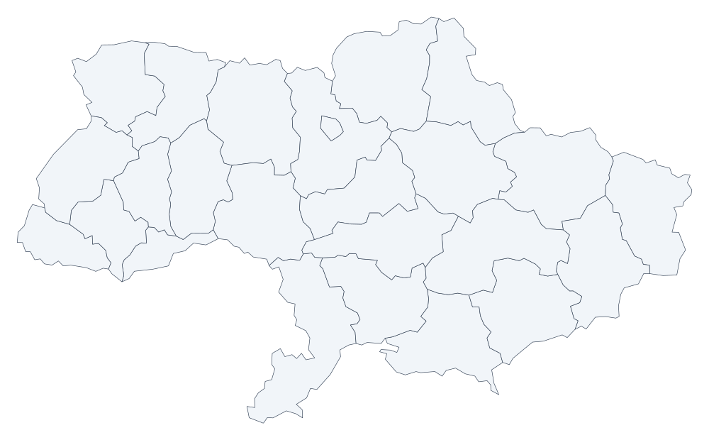 Ukraine 25
 -
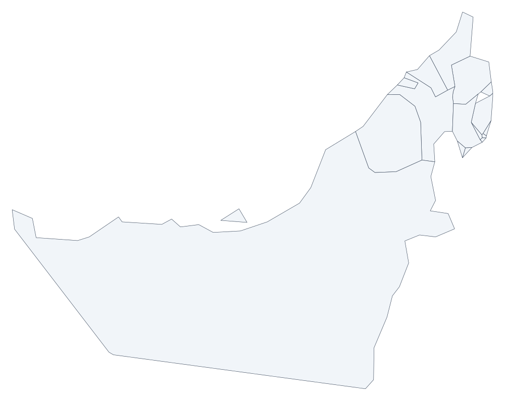 United Arab Emirates 9
 -
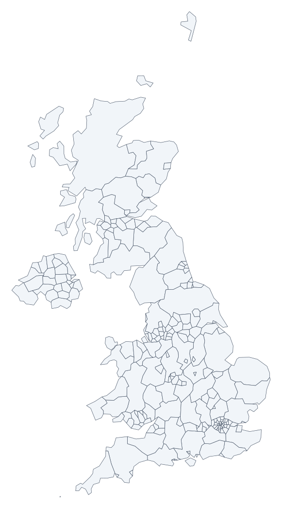 United Kingdom 232
 -
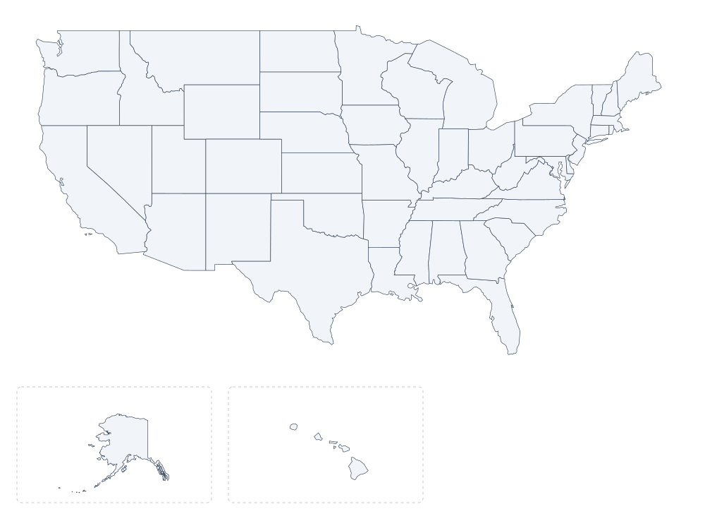 United States 51
 -
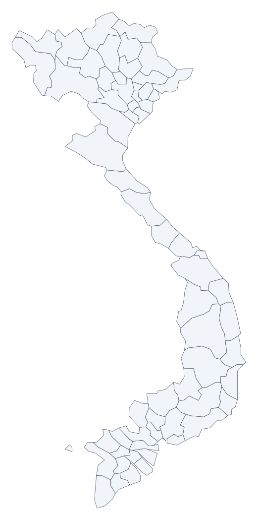 Vietnam 63
How to use a blank map
- Pick the extent you need. A world map for global patterns, a continent for regional work, a country or state for detail.
- Print or download. Print the map area directly, or take the GeoJSON and render it at whatever size your project needs.
- Add your own information. Label the divisions by hand, or load the data into the Studio viewer and colour it by a value in your own dataset.
Frequently asked questions
- What is a blank map?
- A blank map shows the outline of a place and nothing else: no country names, no city labels, no colour coding. It exists so you can add the information yourself, whether that is labelling a geography quiz, marking a route, or drawing boundaries for a report.
- Are these blank maps free?
- Yes, all 110 of them. There is no account, no payment, and no watermark. The boundary data is public domain, so you can print, edit, and redistribute the maps without asking anyone.
- Can I use these maps in commercial work?
- Yes. The outlines come from Natural Earth, which is released into the public domain with no attribution requirement. You can use them in paid products, courses, books, and advertising.
- How many blank maps are there?
- 110: the world, six continents, every US state plus the District of Columbia, and 52 countries. Every one is available as an interactive map and as a downloadable GeoJSON file.
- Can I get a labelled version instead?
- Yes. Every map page has a Show names toggle that reveals the name of each division. Use the blank version first and the labelled version as an answer key.
- How do I print one?
- Open a map, customize its colors and labels, then download a PDF for your paper size or an SVG for scalable artwork. PNG and GeoJSON downloads are also available.
- Where does the boundary data come from?
- Natural Earth's 1:10m administrative layers. The outlines are simplified to about 5% of the original detail, which keeps every division and the recognisable shape while making the files roughly 93% smaller.
- Why are the outlines simplified?
- Because a blank map is meant to be read and drawn on. A coastline stored with hundreds of thousands of vertices loads slowly and is harder to annotate than a clean outline. The full-detail version is available from Natural Earth if you need it.
- Can I download the data rather than a picture?
- Yes, and it is usually the better option. Each map page offers the GeoJSON the map is drawn from, with every division carrying its name, so you can style it yourself or convert it to Shapefile, KML, or another format.
- Do the maps show disputed borders?
- They follow Natural Earth's rendering, which makes its own decisions about contested areas. For anything legally or politically sensitive, check the authoritative source for that region rather than relying on any general-purpose outline dataset.
Related
- World flags map The same countries, filled with their flags.
- Create a map Make a map from your own data.
- Studio viewer Open a downloaded outline and style it.
- Sample datasets Ready-made data to combine with these outlines.