US Public Schools — 102,000+ Locations
Quick answer: Download 102,000+ geocoded US public school locations as a CSV with NCES district IDs, enrollment, grade spans, and teacher counts, and view them on an interactive map.
About this dataset
Over 102,000 public schools nationwide with district IDs, enrollment, grade spans, and teacher counts.
This dataset maps more than 102,000 public schools across the United States — elementary, middle, high, and special-purpose schools in every state and territory. Each point carries the school name, NCES ID, district ID, mailing address, county, enrollment, grade span, full-time teacher count, and website where available. Sourced from the NCES public school universe file and geocoded to coordinates, it is the definitive open base layer for school-district analysis, education equity research, and family relocation tools.
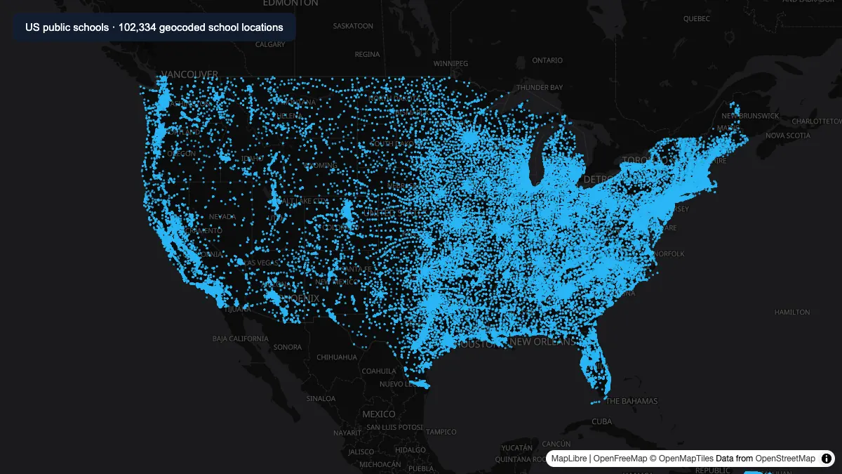
Actual map of 102,334 valid school coordinates parsed from the hosted Public_Schools.csv dataset. Basemap credits are shown in the image.
How to download
- 1 Download the Public_Schools.csv file.
- 2 Open the map preview on this page or drop the CSV into GeoDataViewer Studio.
- 3 Filter by state, district, or grade span using the attribute table.
- 4 Overlay population or boundary layers to compute school coverage.
FAQ
How many public schools are in the dataset?
The file contains over 102,000 public school locations covering all 50 states plus US territories, making it one of the most complete open school-point datasets for the United States.
What attributes does each school record have?
Each row includes the school name, NCES ID, district ID, street address, city, state, ZIP, county, enrollment, grade span, full-time teacher count, NAICS classification, website, and geocoded latitude/longitude.
Can I identify which district a school belongs to?
Yes — the DISTRICTID column carries the NCES local education agency identifier, which you can use to group schools by district in the attribute table or a pivot tool.
How is this different from the private schools dataset?
This file covers publicly funded schools from the NCES public school universe and includes district IDs; the private schools dataset covers independently operated schools from the NCES private school survey. Load both to compare coverage.