World Food Dish Map — 19,900+ Iconic Dishes by Origin
Quick answer: The World Food Dish Map is a free dataset of 19,900+ iconic dishes plotted at their home locations, with dish names and photos, available as JSON viewable on the map.
About this dataset
Nearly 20,000 iconic dishes mapped to the places they are eaten, each with a photo, name, and detail link.
The World Food Dish Map plots almost 20,000 iconic dishes — from Wiener Schnitzel in Vienna to street food across Southeast Asia — at the locations where they are traditionally eaten. Each point carries the dish name, an image reference, and a detail-page link, turning the dataset into a ready-made culinary gazetteer. Use it to build food tourism maps, explore regional cuisines, or enrich travel applications with authentic local dishes.
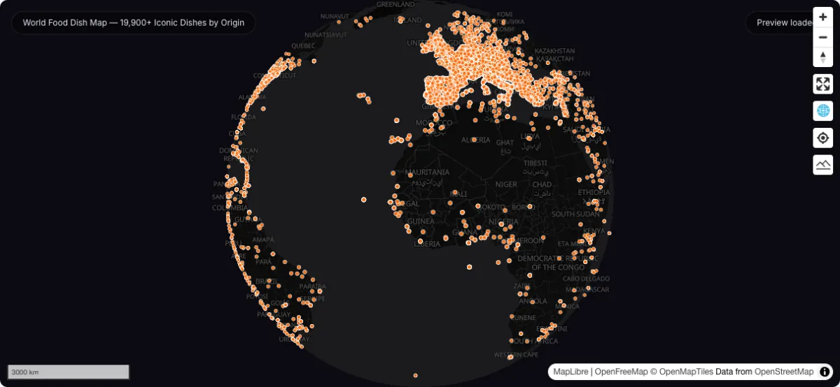
Actual dataset map screenshot; map and basemap credits are shown in the image. Captured 30 September 2026.
How to download
- 1 Download the foodmap.json file.
- 2 View the interactive food map preview on this page.
- 3 Search for a dish or region in the attribute table.
- 4 Combine with city layers to plan a food-focused trip.
FAQ
What does each dish point contain?
Each point stores the dish label, an image path for the dish photo, a urlLink to its detail page, an entity type marker, and the latitude/longitude where the dish is traditionally eaten.
How is the data structured?
The file is a JSON export with an items array rather than standard GeoJSON. GeoDataViewer detects the structure automatically and converts each located item into a map point, so you can browse it like any other point layer.
Which regions are covered best?
Coverage is global but densest in Europe — especially Central Europe, Italy, and the Balkans — with strong representation across the Americas and Asia. Sparse regions simply have fewer catalogued iconic dishes.
Can I use this for a food tourism app?
Yes. The dataset is free to use with attribution, and the label, image, and link fields give you everything needed to render dish cards on a map-based interface.