Submarine Cable Landing Points Dataset
Quick answer: The submarine cable landing points dataset is a GeoJSON point layer showing where undersea fiber-optic cables come ashore and connect to terrestrial infrastructure.
About this dataset
GeoJSON point dataset for terrestrial landing stations that anchor submarine fiber-optic cable systems worldwide.
Download the submarine cable landing points GeoJSON dataset from TeleGeography Submarine Cable Map and pair it with subsea cable routes to understand global internet shore access.
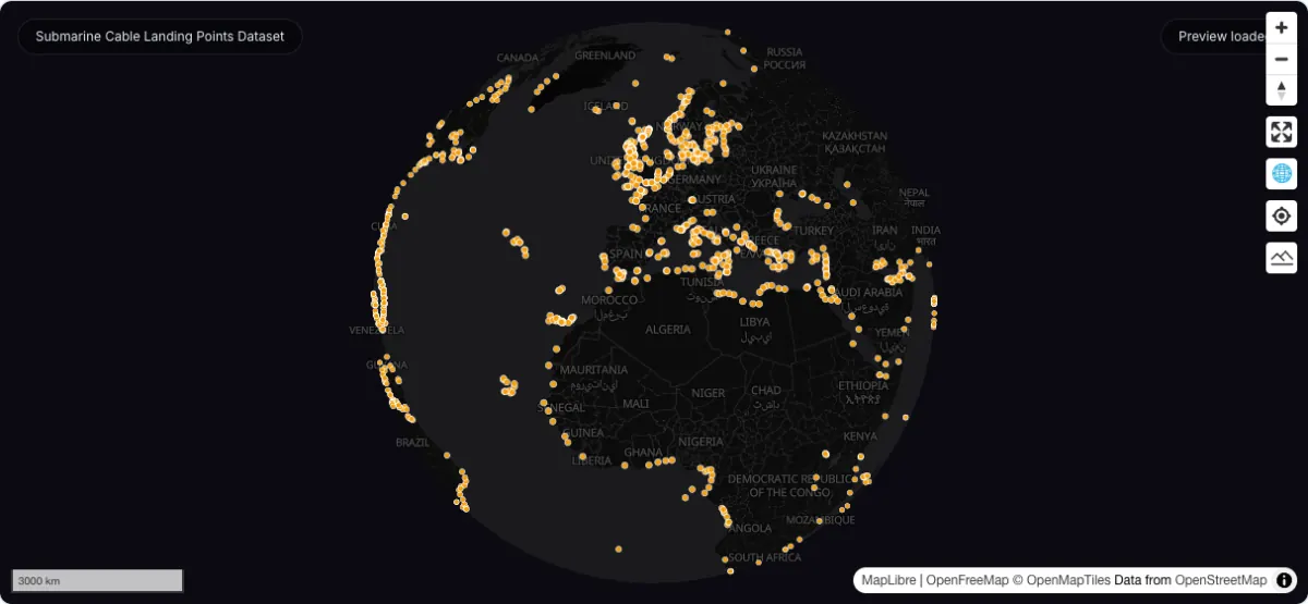
Actual dataset map screenshot; map and basemap credits are shown in the image. Captured 30 September 2026.
How to download
- 1 Download the GeoJSON directly from our CORS-enabled live proxy or static mirror.
- 2 Inspect landing stations, facility names, and planned status in GeoDataViewer Studio.
- 3 Use it together with subsea cable routes to map coastal network dependencies.
FAQ
What is a cable landing points dataset?
It is a point layer that marks coastal landing facilities where submarine cable systems connect into terrestrial networks.
Why pair landing points with cable routes?
Together they show both the undersea transport lines and the fixed nodes where those systems reach land.