GADM Administrative Boundaries
Quick answer: GADM is a strong choice when you need more detailed administrative hierarchies than lighter global datasets typically provide.
Next step
Already have the export?
Open a GeoJSON result in the browser to inspect its map and attributes before sharing or converting it again.
Format
GeoPackage / Shapefile / GeoJSON
Geometry
Polygon
Coverage
Global by country download
Resolution
High-detail administrative units
About this dataset
Detailed national and subnational administrative boundaries with deeper hierarchy than most lightweight global basemaps.
Download GADM administrative boundary data for countries, provinces, and deeper admin levels in GIS-ready formats such as GeoPackage and shapefile.
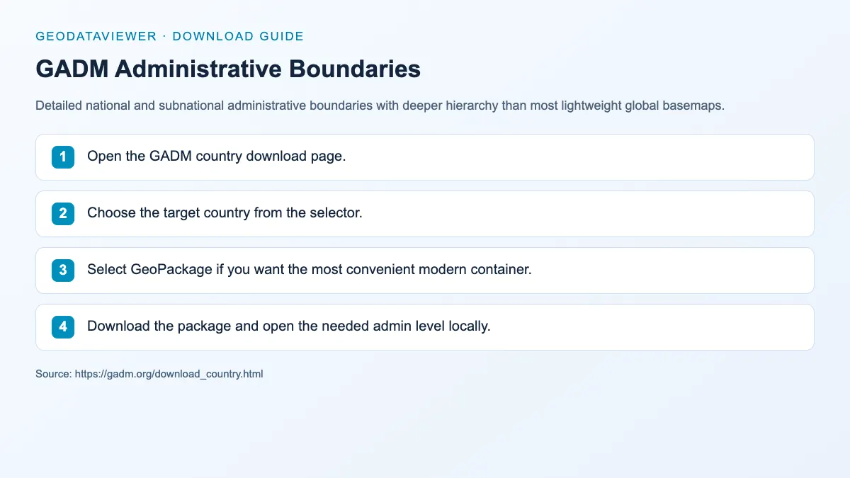
Download steps from this dataset’s GeoDataViewer guide. Follow the original provider for current files and access requirements.
How to download
- 1 Open the GADM country download page.
- 2 Choose the target country from the selector.
- 3 Select GeoPackage if you want the most convenient modern container.
- 4 Download the package and open the needed admin level locally.
FAQ
Why use GADM instead of Natural Earth?
Use GADM when you need deeper or denser administrative hierarchy, especially for country-specific work.
What format should I choose from GADM?
GeoPackage is usually the most convenient for desktop GIS and later format conversion.